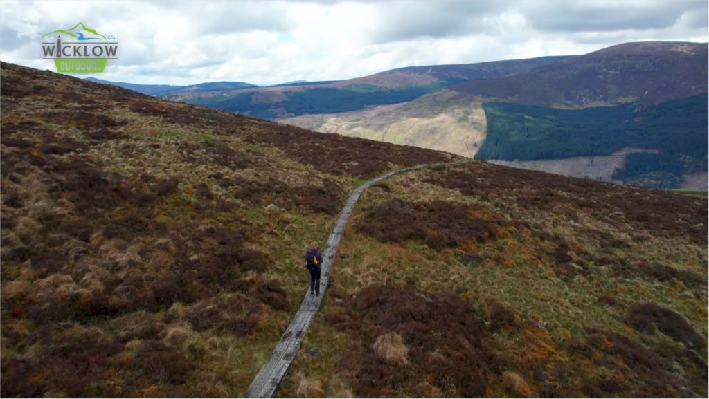
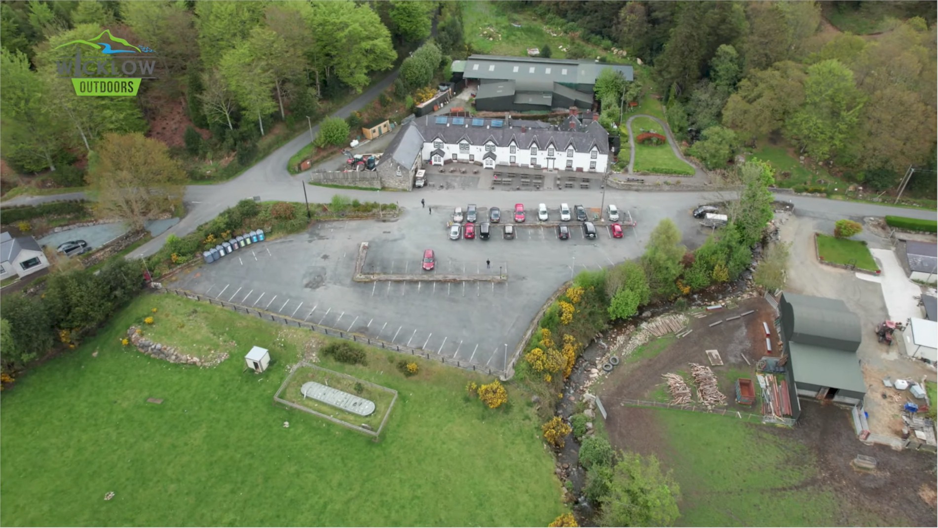
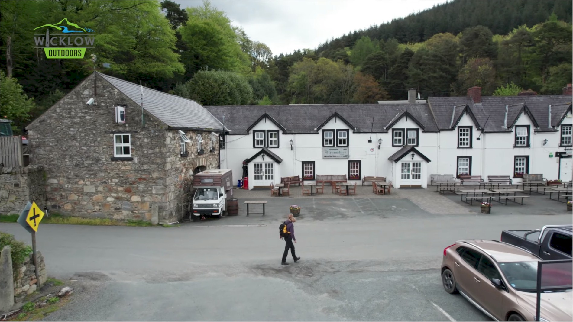
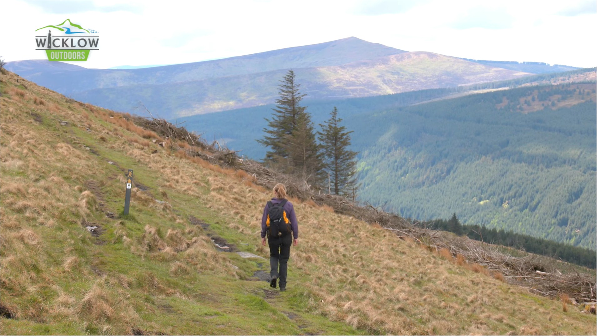
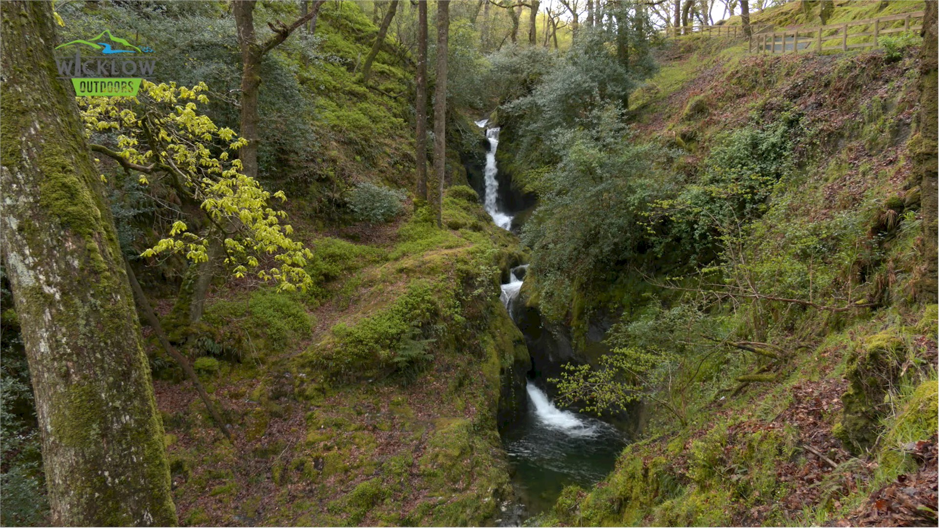
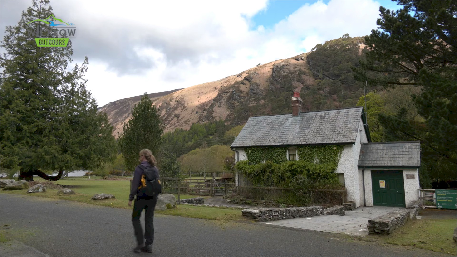
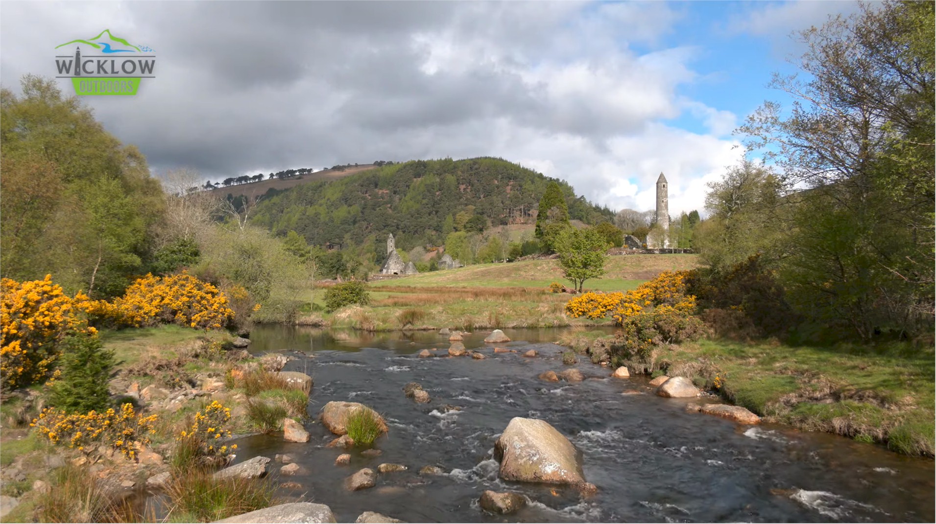
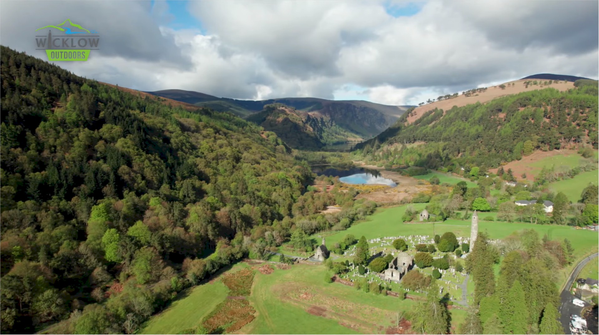
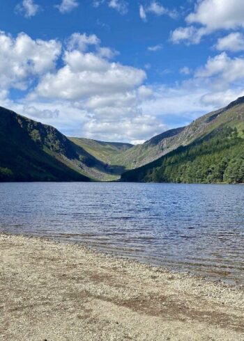
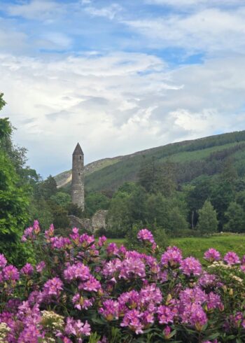
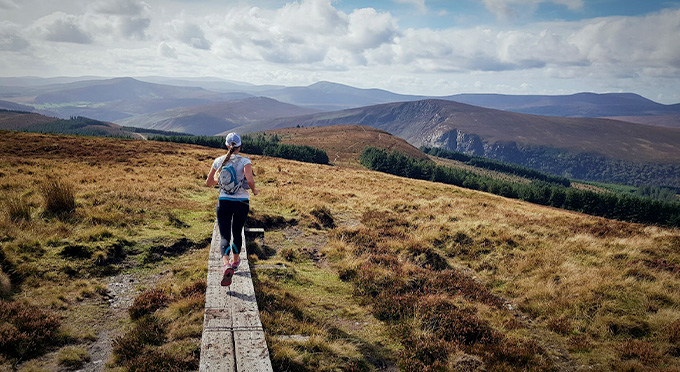
Crossing the bridge behind the visitor centre, you will take the “Green Road” toward the Upper Lake. With the ancient ruins of the Monastic City on your right, you will soon pass the Information Office which marks the start of today’s tough climb. You’ll pass Poulanass Waterfall before joining the forest road which will weave it’s way higher and higher until you reach the boggy saddle between Mullacor and Lugduff. Irelands longest U shaped valley lies below you as you make your way to the valley floor and the welcome fire in the Glenmalure Lodge. Several detours to the Monastic City, Glendalough Upper Lake and up to the superb lookout point on the Spinc are possible during this stage to Glenmalure.
Grade: Strenuous
Distance: 13.9km
Estimated time: 5hrs
Type: Linear
Map & Contact Details
Wicklow Way – Part 4: Glendalough to Glenmalure, Rathdrum
GPS Co-ordinates:
Latitude: 53.010833 | Longitude: -6.324091
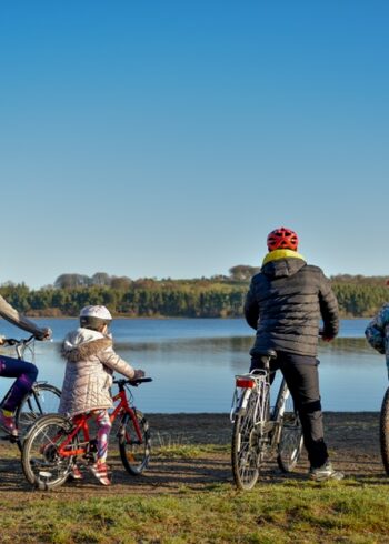
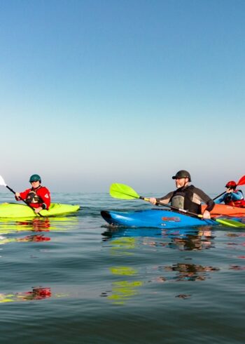
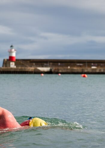
Gallery


Discover More Nearby...
Wicklow Outdoors
Wicklow Passport