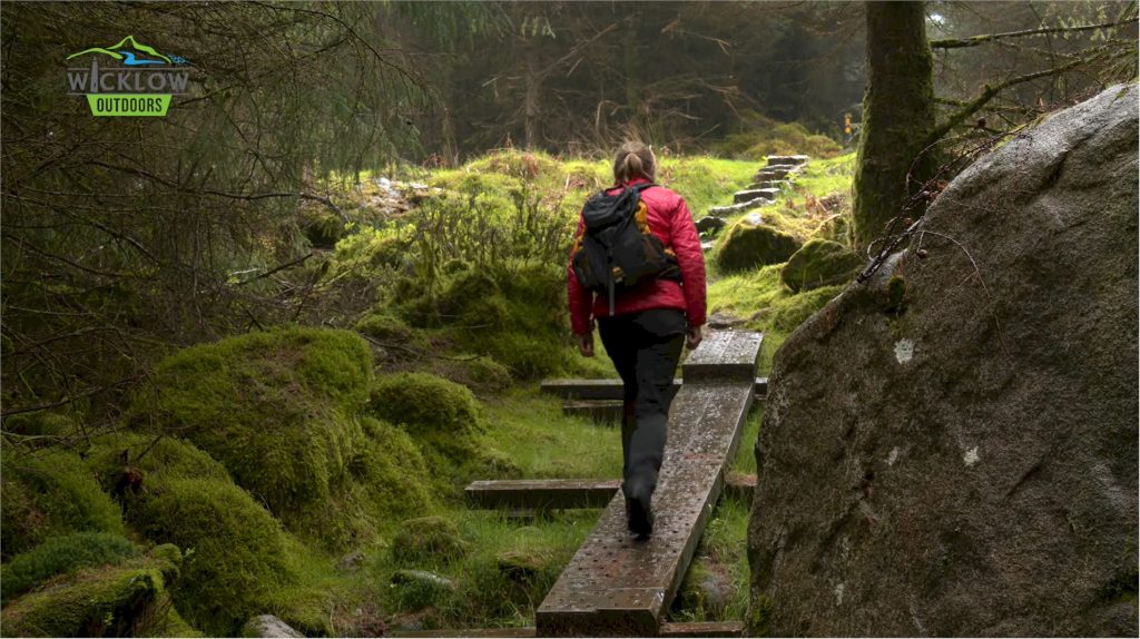
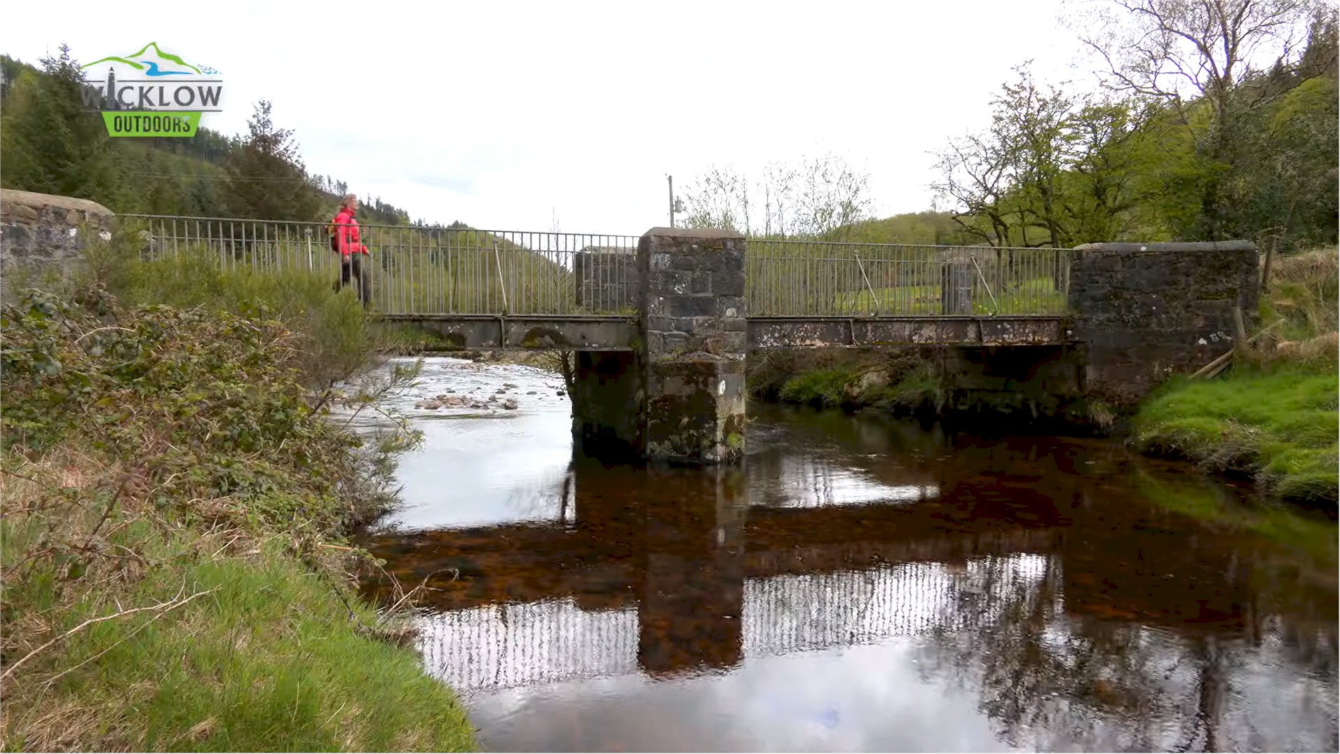
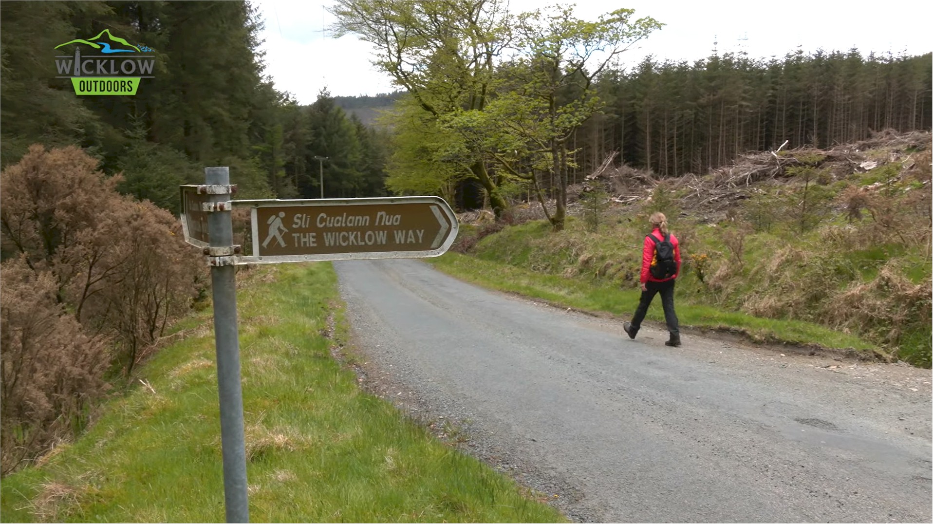
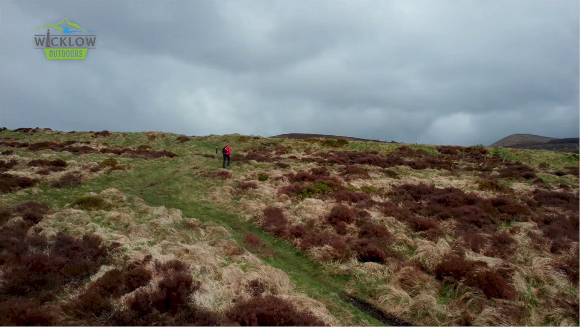
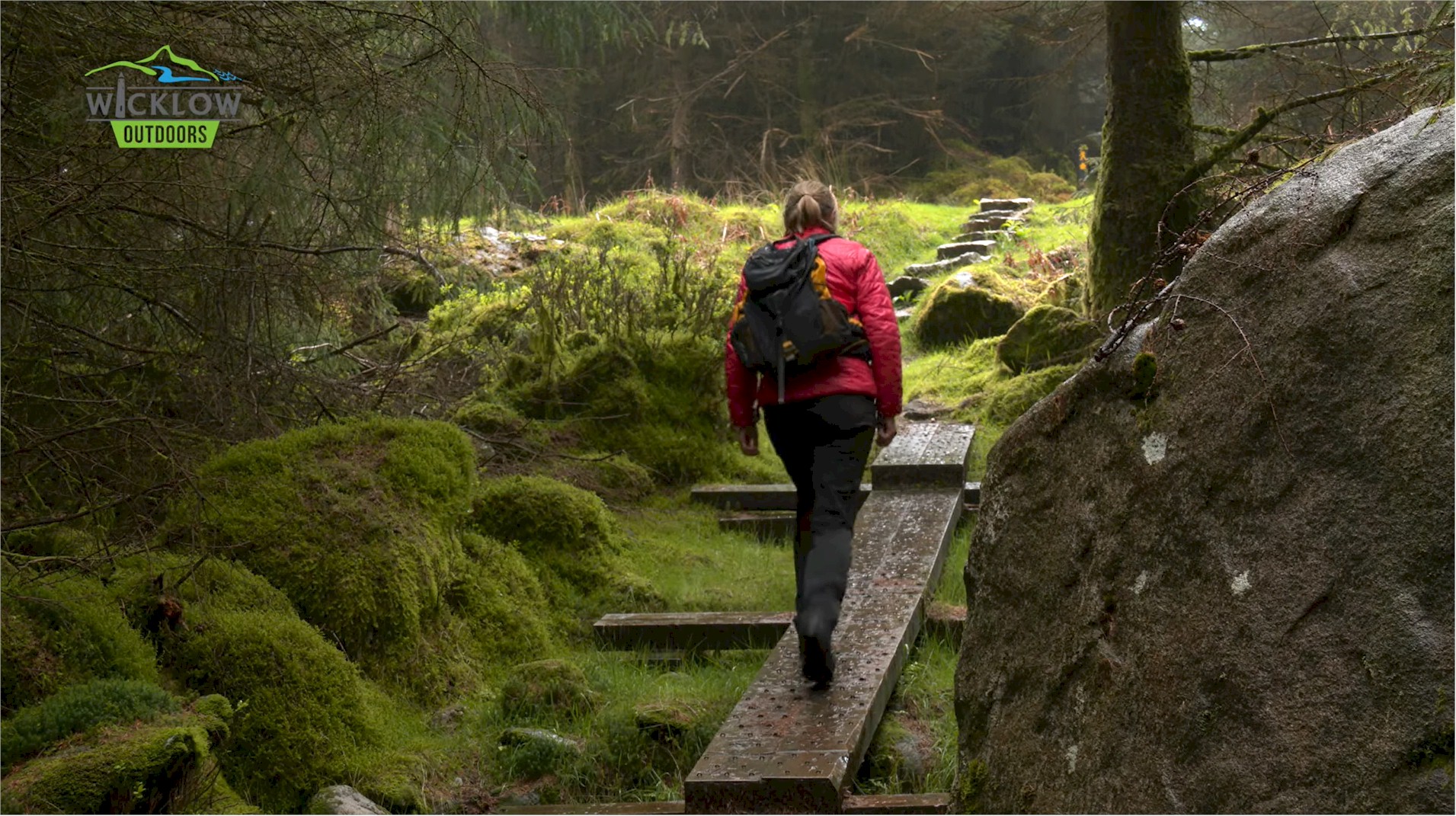
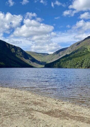
You will notice very quickly that you are now in a much quieter part of the Wicklow Uplands. This area is less visited and this is one of its highlights. Iron Bridge marks the lowest point on the route before the last climb up Ballyteigh before your descent to Moyne and then onwards to Crossbridge and the end of day 5.
Grade: Strenuous
Distance: 32.8km
Estimated time: 8hrs
Type: Linear
Map & Contact Details
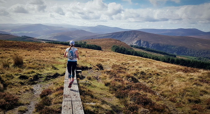
Wicklow Way – Part 5: Glenmalure to Moyne, Aughrim
GPS Co-ordinates:
Latitude: 52.863637 | Longitude: -6.464081
Gallery


Discover More Nearby...
Wicklow Outdoors
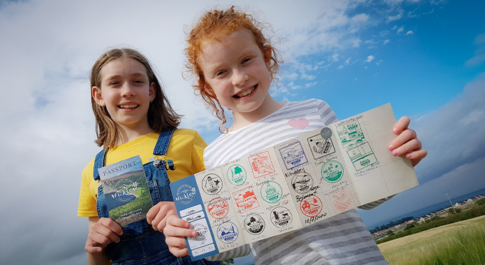
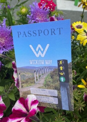
Wicklow Passport