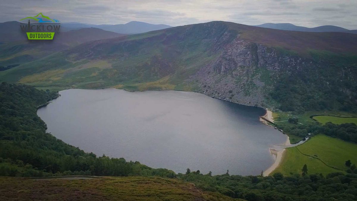
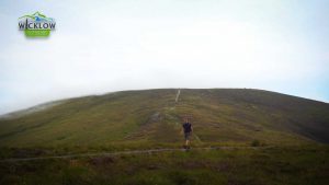
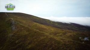
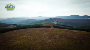
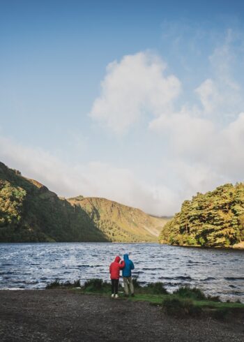
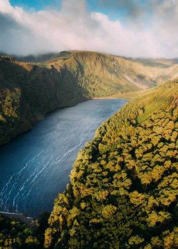
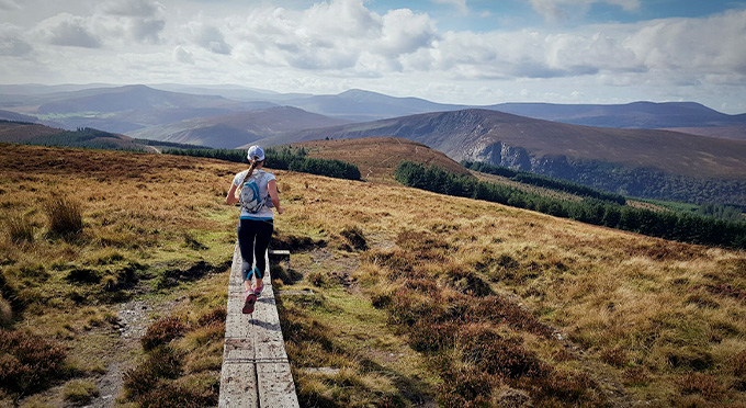
Stage 2 of the Wicklow Way starts at the road crossing close to the Knockree Hostel. The route south takes in pleasant riverside trail, challenging open mountain sections and spectacular views. First on the list of great views is Powerscourt Waterfall, Ireland’s largest, as you climb high through Crone Wood the view into the waterfall opens up. As you leave the forest you enter the open mountain with amazing views east over the Irish Sea. Djouce Mountain looms high above you to the right as you skirt along just below the summit. Your second treat now comes into view: Lough Tay. More views into Lough Dan await you before you reach the cross roads above Roundwood and the end of Day 2. Roundwood village is a 3km walk downhill from here.
- Grade: Strenuous
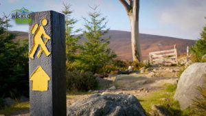
- Markings: The route is marked with yellow arrows on black marker poles – Linear Trail
- Distance: 20.4km
- Estimated walking time: 7hrs
- Total height climbed: 710m
- Highest point: 630m
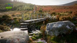
- Terrain underfoot: Public road, forest track and exposed mountain trail
- Suitable for: This is a high mountain route and should only be undertaken by those who are fully equipped with rainwear, warm clothing, food and strong footwear.
- Notes: Open mountain- very exposed to weather.
- Start Locations: Knockree Hostel (GPS 53.17307, -6.21789) GRID REF: O 189 150 or Crone Woods (GPS 53.16541, -6.21694) GRID REF: O 192 143
- Finish Locations: Oldbridge (GPS 53.0539,-6.273) GRID REF: O 158 017
- Public Transport:
– Dublin Bus (185 will bring you close to the hostel) www.dublinbus.ie
– 183 LocalLink Bus service between Wicklow Town and Glendalough stops at Roundwood
– St Kevin’s Bus from Dublin/Bray to Glendalough stops at Roundwood - Eat, Drink, Stay, Services: ENNISKERRY – ROUNDWOOD