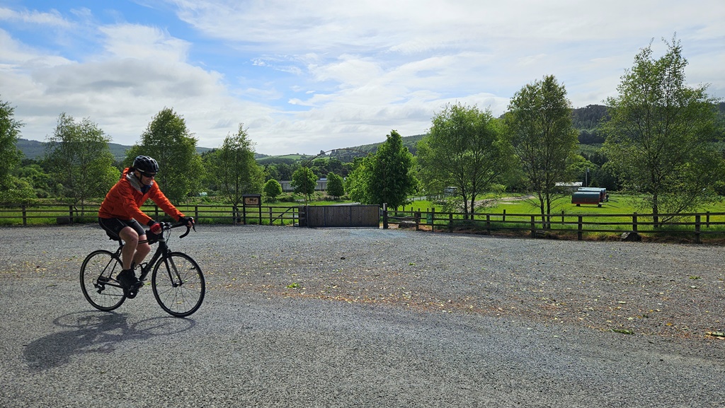
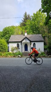
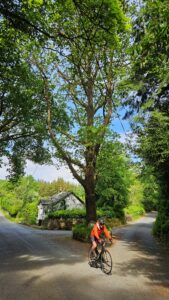
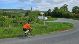
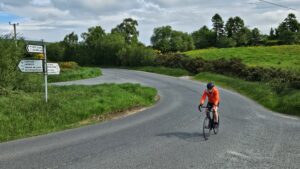
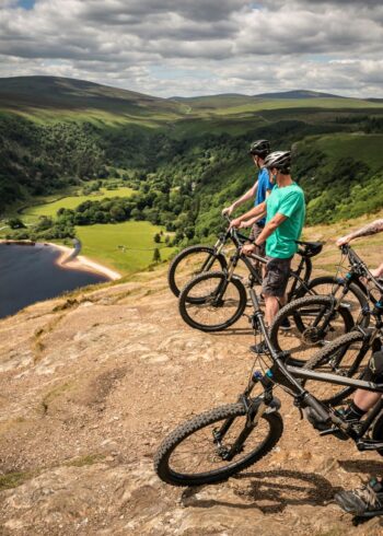
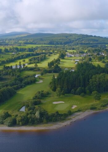
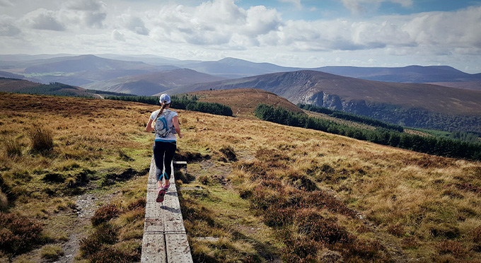
This route bring you along the beautiful Claravale valley to the village of Laragh.
From there, you can access the Glendalough Visitors Centre close to the monastic city and stunning upper Glendalough lake.
Afterwards, you return from Laragh to Rathdrum following the upper road to the North of the Claravale valley which gives some great views of the surrounding countryside.
Grade: Challenging
Distance: 34.6 km
Ascent: 270 m
Estimated Time: 2hrs
Town Nearest Start Point: Rathdrum
GPS Start Point: 52.93231, -6.23111
Wicklow Passport Collection Points: Rathdrum, Laragh/Glendalough
