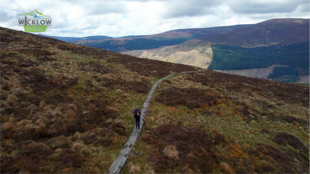
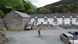
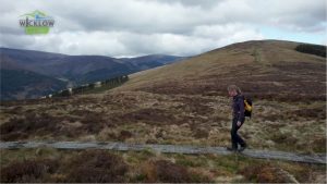
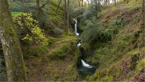
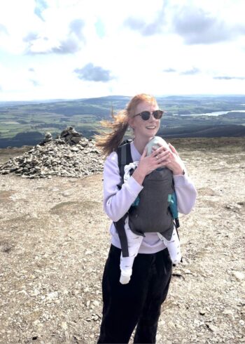
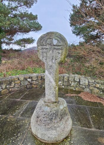
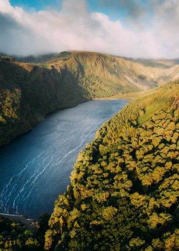
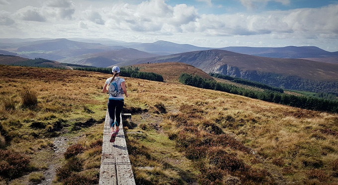
Stage 4 of the Wicklow Way starts in front of the Glendalough visitors centre. From here you cross the bridge and take the “Green Road” walking path into the valley. The ancient ruins of the Monastic City are on your right. Soon you’ll pass the Information Office which marks the start of today’s tough climb. You’ll pass Poulanass Waterfall before joining the forest road which will weave it’s way higher and higher until you reach the boggy saddle between Mullacor and Lugduff. Irelands longest valley lies below you as you make your way to the valley floor and the welcome fire in the Glenmalure Lodge. Several detours to the Monastic City, Glendalough Upper Lake and up to the superb lookout point on the Spink are possible during this stage to Glenmalure.
- Grade: Strenuous
- Markings: The route is marked with yellow arrows on black marker poles – Linear Trail
- Distance: 13.9km
- Estimated walking time: 5hrs
- Total height climbed: 475m
- Highest point: 560m
- Terrain underfoot: Public road, forest track and exposed mountain trail
- Suitable for: This is one of the easier sections of the Wicklow Way but has an exposed mountain route and should only be undertaken by those who are fully equipped with rainwear, warm clothing, food and strong footwear.
- Notes: Open mountain- very exposed to weather.
- GPS START POINT: Glendalough, Laragh 53.0105, -6.3237
- GRID REF START POINT: Glendalough, Laragh T 125 968
- GPS END POINT: Glenmalure 52.9577, -6.3542
- GRID REF END POINT: Glenmalure T 106 909
- Transport:
St Kevins Bus www.glendaloughbus.com / +353 (0)1 281 8119
Local Link Bus 183 Glendalough/Wicklow Town (7 days) - Irish Rail to Rathdrum
- Eat, Drink, Stay, Services: LARAGH/GLENDALOUGH – GLENMALURE/RATHDRUM