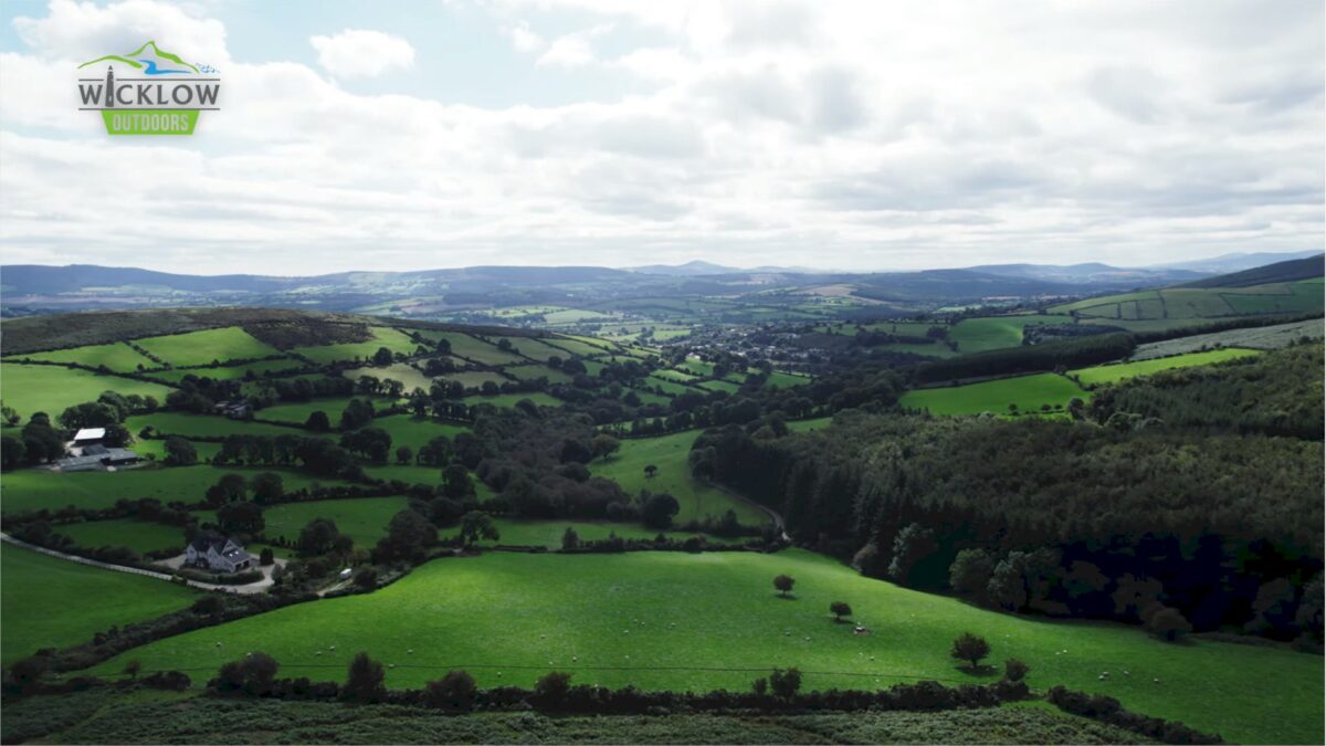
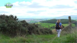
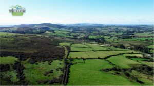
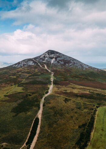
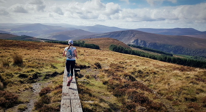
Day 6 leaves from Crossbridge near Tinahely, a town well known for it’s many walks. The route continues over rolling hills, along quiet country roads until you finish just inside the border of County Carlow at the welcoming village of Clonegal.
Note 1: There is no public transport to and from the village of Clonegal. Egan’s Bar offers a good starting/finish point some 4km North of the Clonegal and just 1km to the Wicklow Way. Transport to Shillelagh and daily buses can be organised at Egan’s Bar
Note 2: Option to link back to the village of Tinahely at the popular The Dying Cow’s Pub. From there, walk down to join the Railway Walk up to Tinahely. Join the Wicklow Way back from Tinahely along the Mangan trail.
Grade: Strenuous
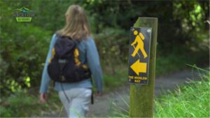
Markings: The route is marked with yellow arrows on black marker poles – Linear trail
Distance: 32.4km
Estimated time: 8hrs
Total height climbed: 730m
Highest point: 300m
Terrain underfoot: public road, forest track and mountain trail
Suitable for: parts of this route are on open mountain and should only be undertaken by those who are fully equipped with rainwear, warm clothing, food and strong footwear.
Notes: Open mountain- very exposed to weather, can be difficult to navigate as you leave the forest if weather is poor.
How to get to start point: Near Crossbridge, Tinahely
- GPS FOR START POINT: 52.8114,-6.487 GR START: O 155 265
- No public transport. Nearest Train Station: Rathdrum 21km
- Public Transport:
– NEW DAILY BUS SERVICE TO ARKLOW OR TULLOW AT SHILLELAGH - GPS FOR FINISH: 52.6954,-6.6483 GR FINISH: S 914 613
- Eat, Drink & Stay: TINAHELY – SHILLELAGH