Sugarloaf Way – Bray to Wicklow Way
The Sugarloaf Way is part of a longer walking route connecting Bray Seafront to the Wicklow Way at Djouce. The route offers amazing views going through Bray Head, Belmont Demesne and the Little Sugarloaf, the Big Sugarloaf, Powerscourt Waterfall and more. The Sugarloaf Way long route is a perfect option to start or finish the Wicklow Way.
There are refreshment options at Belmont Demesne or Kilmacanogue. There is a bus service at Kilmacanogue to connect with Bray.
Grade: Strenuous
Distance: 22km
Total height climbed: 972m
Type: Linear
How to get to start point: You can start from either point
Start – Bray:
Finish – Wicklow Way @Djouce
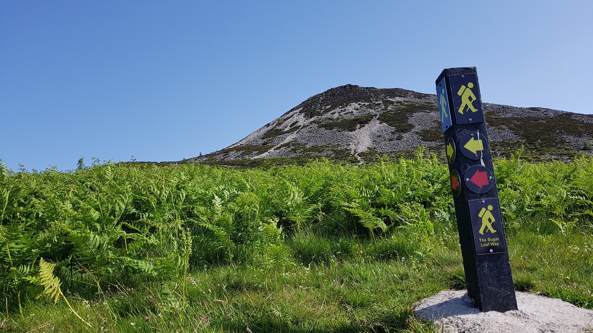
The Sugar Loaf Way Trail
The Sugar Loaf Way Trail starts at Kilmacanogue 1916 Commemorative Garden close to Kilmacanogue village and winds its way through charming little country roads and greenways along the foothills of the Great Sugar Loaf Mountain (501 Mtrs), in times past this was the original coach road from Kilmacanogue to Roundwood.
Known locally as the “Car Road” the trail follows a route roughly parallel to the R755 but as it climbs, wonderful views over the Little Sugar Loaf, Bray and Carrigoona open up.
Travelling through little narrow lanes bordered with old stone walls, the trail turns South and begins to climb upwards through open mountain grazing where views over Djouce, Powerscourt, Deerpark and Maulin can be enjoyed. The trail eventually joins the Sugar Loaf Trail, a well-used path from the Sugar Loaf car park to the summit, the Sugar Loaf Way continues to the car park. The Sugar Loaf way is a linear walk which can be started at either end.
Grade: Strenuous
Distance: 4.6km
Estimated time: 1.3hrs
