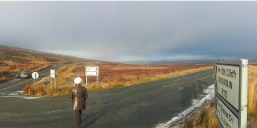
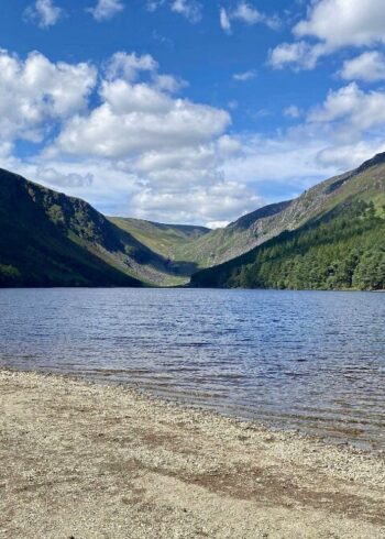
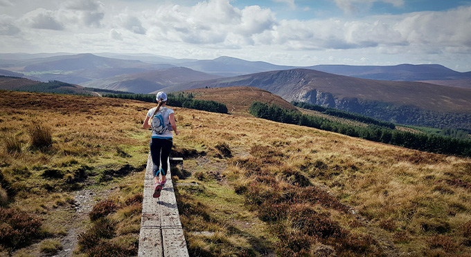
On the road to Sally Gap, there are spectacular views of the surrounding blanket bog and the Wicklow Mountains. Sally Gap is one of two east-to-west passes across the Wicklow Mountains. Sally Gaps is a cross-road that leads you North to Dublin, West to Blessington, South to Glendalough or East to Roundwood.
the Sally Gap got its road after the Irish rebellion of 1798. It was built by British Army forces looking to flush rebels from the hills, and to this day is known as the Military Road.
Whatever about giving the army a better view of the rebels, the Military Road certainly provides an enviable view of some of Ireland’s most filmed scenery.
Highlights of this winding, twisting feat of engineering include the Glencree valley, the dark waters of Lough Tay, Kippure Mountain and Glenmacnass Waterfall.
Two more unusual stops are Glencree’s Visitor Centre, originally built to house soldiers guarding the pass (and now a centre for Peace and Reconciliation), and the Glencree War Cemetery, a resting place for German soldiers who died in Ireland.
Map & Contact Details
Sally Gap, Enniskerry
GPS Co-ordinates:
Latitude: 53.137792457865 | Longitude: -6.3121708981475
Gallery

Discover More Nearby...
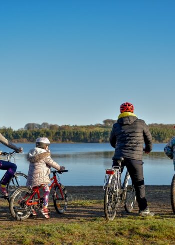
Wicklow Outdoors
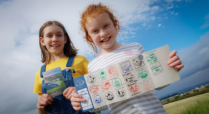
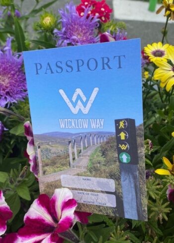
Wicklow Passport