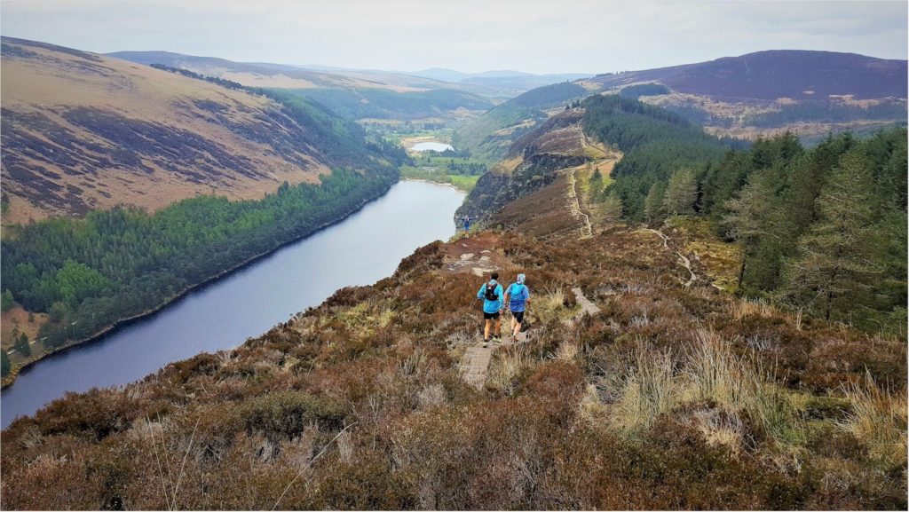
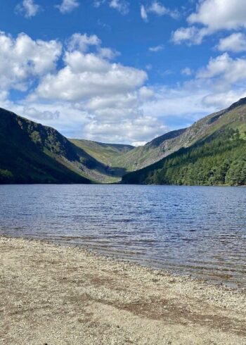
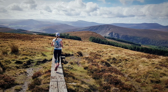
The Spinc ridge overlooks the spectacular Glendalough Valley. A tough climb is rewarded with breathtaking views not just of the Valley but as you climb high the view over the Wicklow Uplands opens out around you.
The trail ascends steeply on a path up by Poulanass Waterfall before joining a boardwalk and wooden steps leading to a spectacular viewing point overlooking the Upper Lake. It skirts the top of the cliffs with more breathtaking views before descending through blanket bog and down a rocky trail to the deserted Miners Village and returning on a good wide trail alongside the upper lake shore.
Grade: Strenuous
Distance: 8.8km
Estimated time: 3.5hrs
Type: Loop
Discover More Nearby...

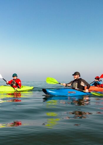
Wicklow Outdoors
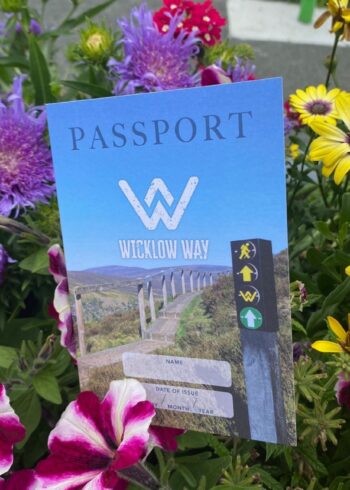
Wicklow Passport