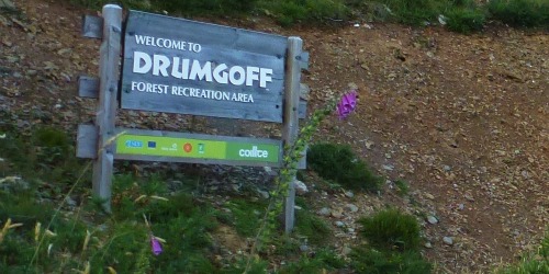
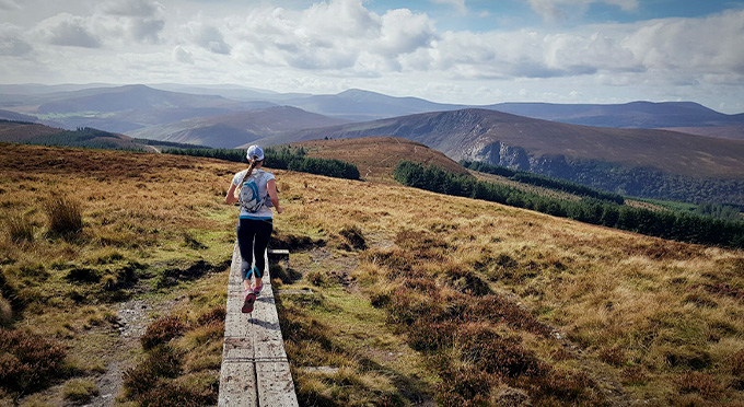
This linear route provides access to the open mountains below Carrawaystick Mountain. These directions are from Drumgoff Recreation Car Park
Grade: Moderate
- Markings: Marked with white markers
- Distance: 2.5km
- Estimated Time: 1hr
- Total Height Climbed: 180m
- Highest Point: 500m
- Terrain Underfoot: Forest Trail & boardwalk
- Suitable for : Fit Walkers
Notes: The network of forest roads in this area can be difficult to navigate, remain on marked trails. If you access the open mountains you must be properly equipped and be able to navigate in difficult conditions.
How to get to the start point: Drumgoff Recreation Area Forest Car Park
- GPS TO START POINT: 52.969,-6374
- GRID REF: T 093 889
- There is no public Transport to the start point, the nearest train station is in Rathdrum
