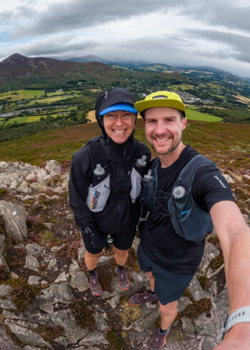
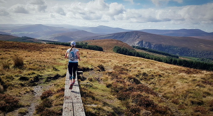
The ‘Long Hill’ provides road access to several car parks from which you can start this walk. Even before you start your walk the views open out in front of you with the Sugar Loaf dominating the view to the East. The route provides excellent views of Irelands highest waterfall- Powerscourt and brings you onto the flanks of Djouce Mountain where views out over Dublin City and Bay will reward the effort.
Starting at either Long Hill or Calary carparks this trail can be done in either direction. This marked trail on forest road and track follows one of the old driving roads almost to the now dry Paddock Ponds, before turning uphill towards the Glensoulen valley, then downhill to the far end of the Paddock Ponds before returning to the start by way of a pleasant gradual uphill climb with good views over the Deerpark and Powerscourt Waterfall. These directions are in an anticlockwise loop from Long Hill carpark which is the first carpark on the right as you approach from Enniskerry or Dublin.
Grade: Moderate
Distance: 9.7km
Estimated time: 3hrs
Type: Loop


