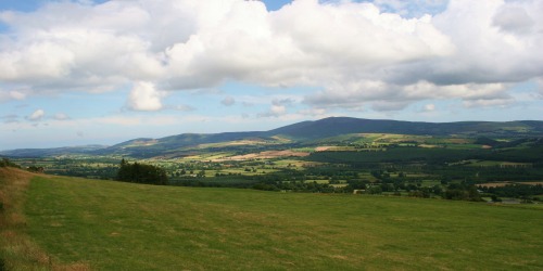
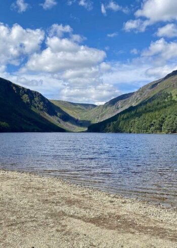
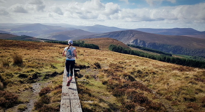
Part of a group of three walks overlooking the pretty village of Tinahely the Ballycumber Loop is the medium length of the three. The route starts in the village and is a loop so will bring you back to the start point. You’ll trek through a variety of terrain from quiet country lanes to forests to open mountain.
Starting at Kilcommon Carpark and making its way to the top of Mangans Lane and following blue arrows, this walk works its way around the lower slopes of Garryhoe as far as a ford over a river and road. It then climbs steeply to pass between Ballycumber Hill and Garryhoe to return to Mangans Lane. Good views of the surrounding countryside and Mountains and of Tinahely, especially from the higher slopes.
More on Tinahely Walks
Grade: Strenuous
Distance: 7.7km
Estimated time: 3hrs
Type: Loop
Map & Contact Details
Tinahely Walkers Welcome, Tinahely
GPS Co-ordinates:
Latitude: 52.800219 | Longitude: -6.461863
Gallery
Discover More Nearby...
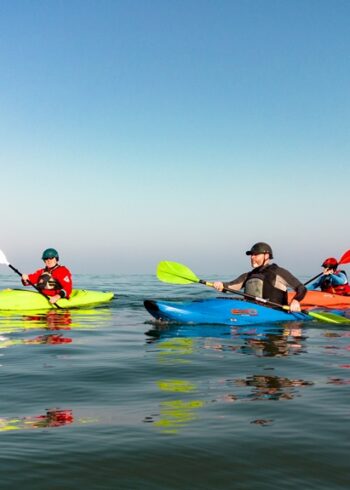

Wicklow Outdoors
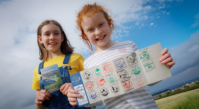
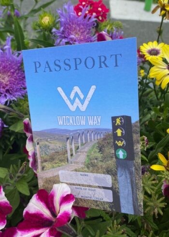
Wicklow Passport