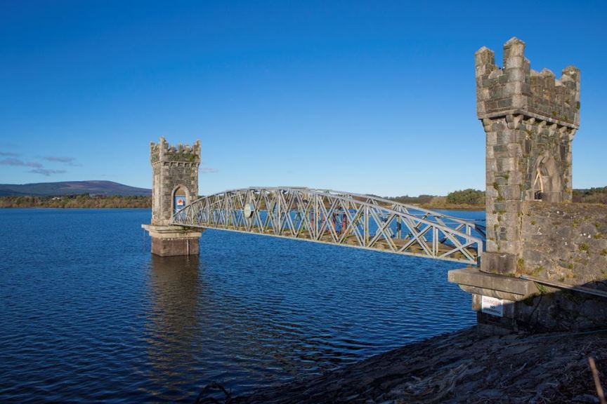
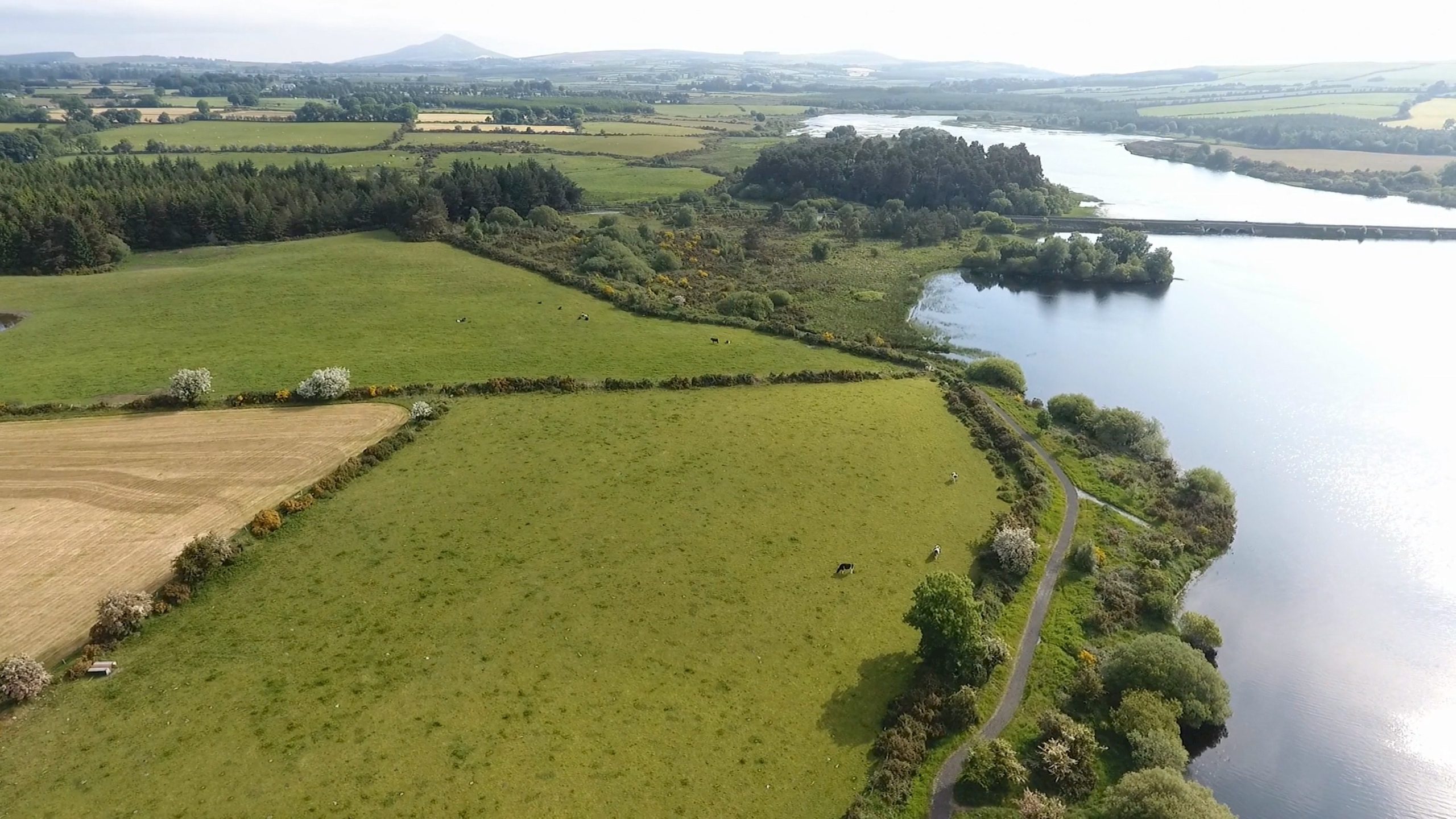
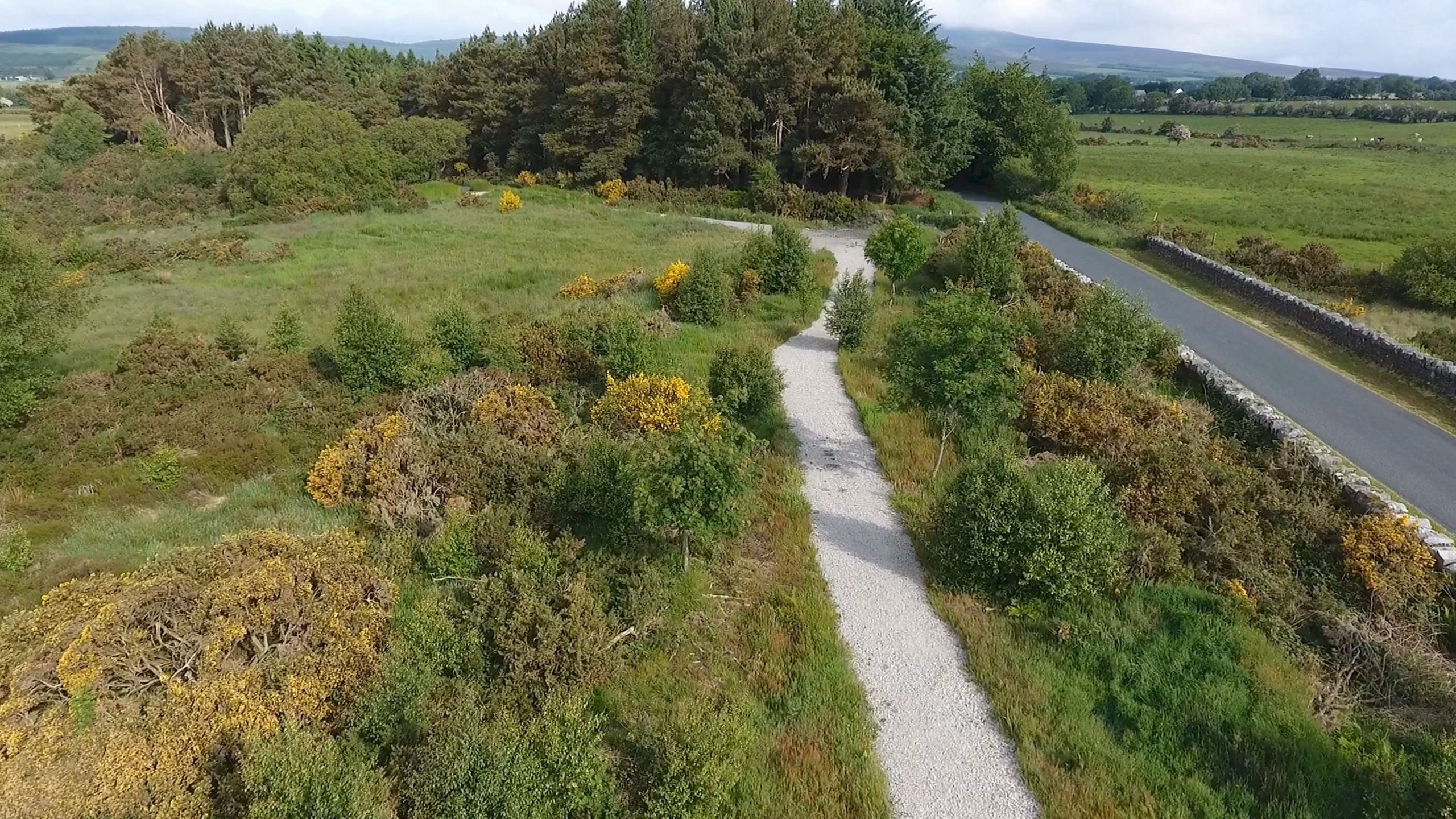
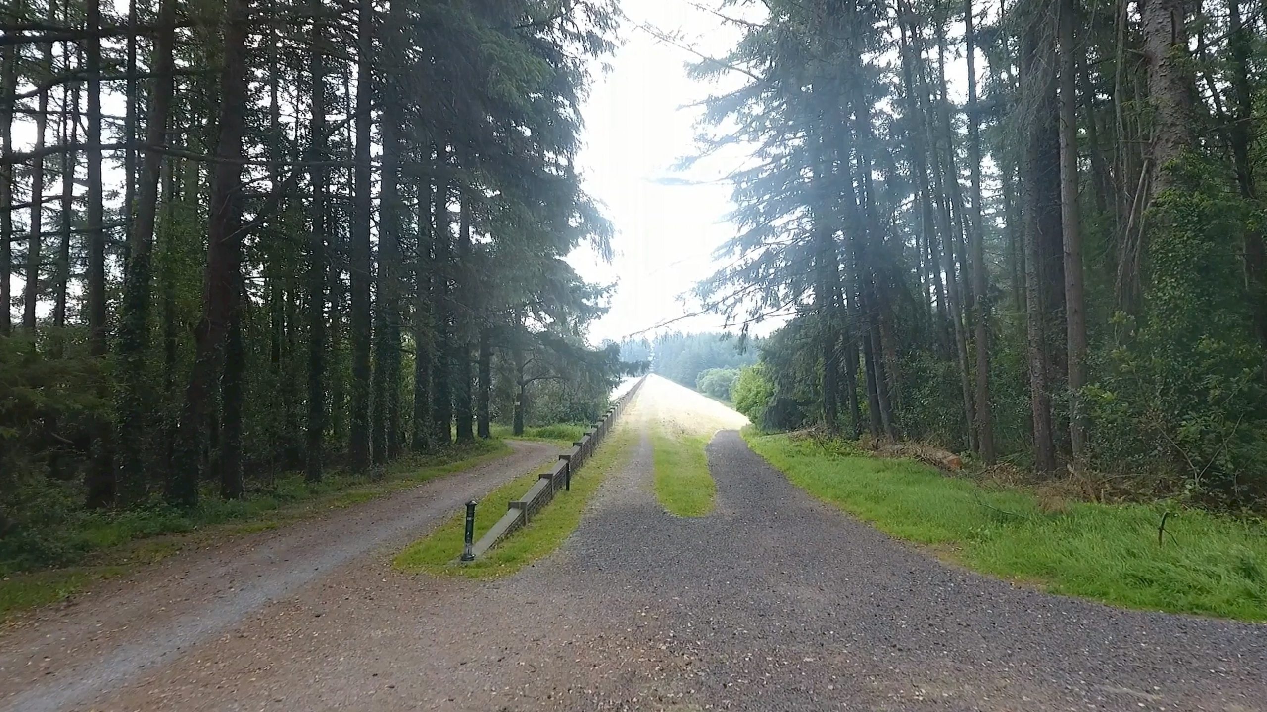
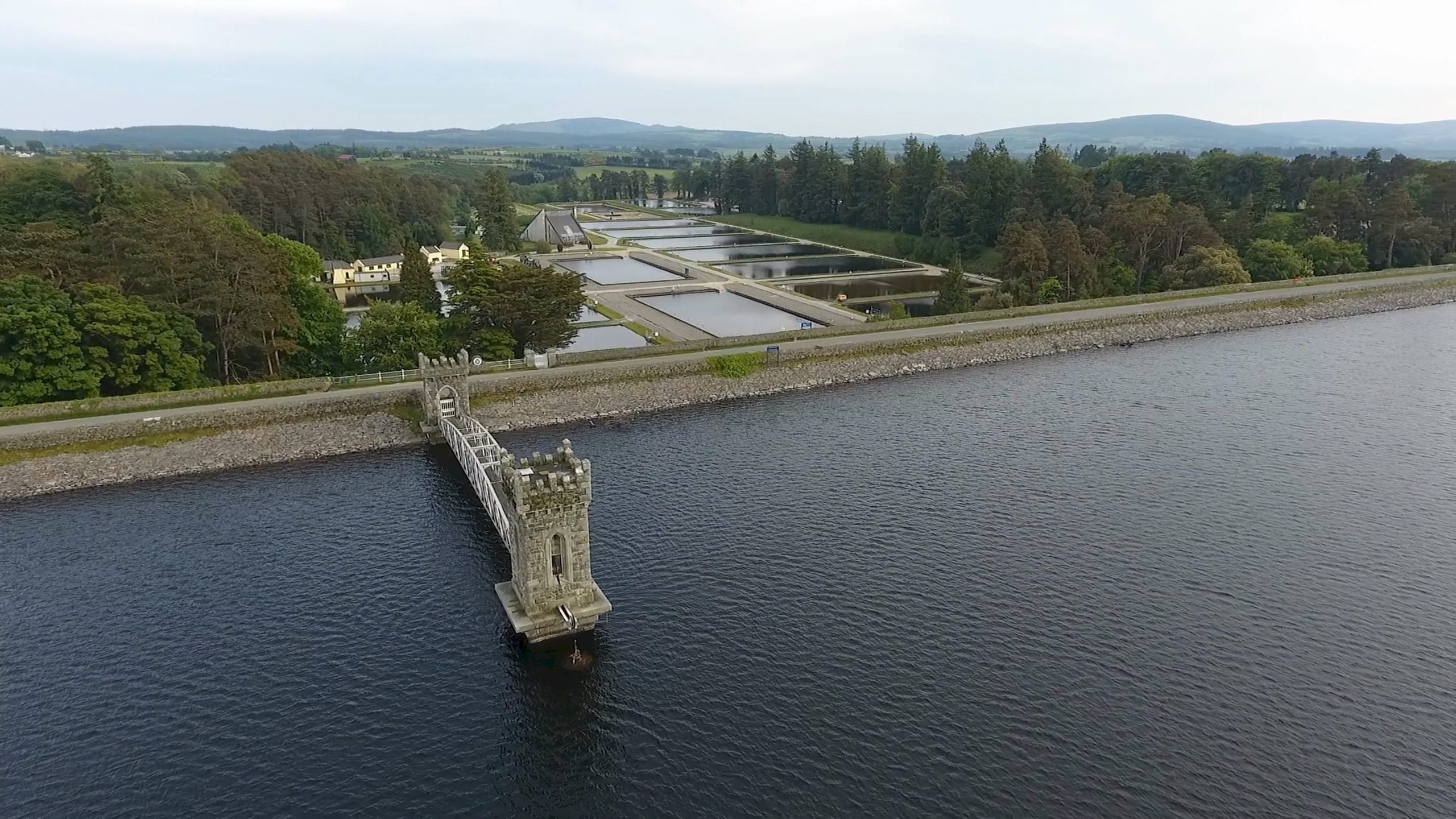
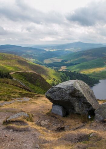
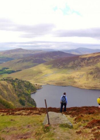
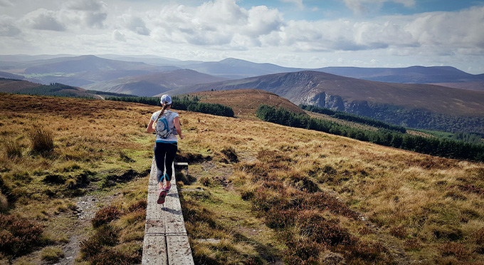
The trail follows lakeside paths and country roads with fantastic views across the water. Keep an eye out for the historic Ballaun stone on the water’s edge. When water levels are low, the old bridge that used to cross the River Vartry can be seen.
Please note: This route is currently closed
Grade: Easy
Distance: 7.9km
Estimated Time: 2hrs
Type: Loop
Map & Contact Details
Vartry Reservoir, Roundwood
GPS Co-ordinates:
Latitude: 53.067517 | Longitude: -6.223062
Gallery


Discover More Nearby...
Wicklow Outdoors
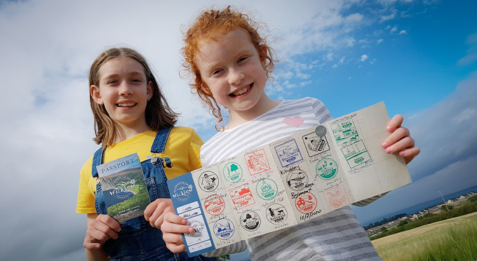
Wicklow Passport