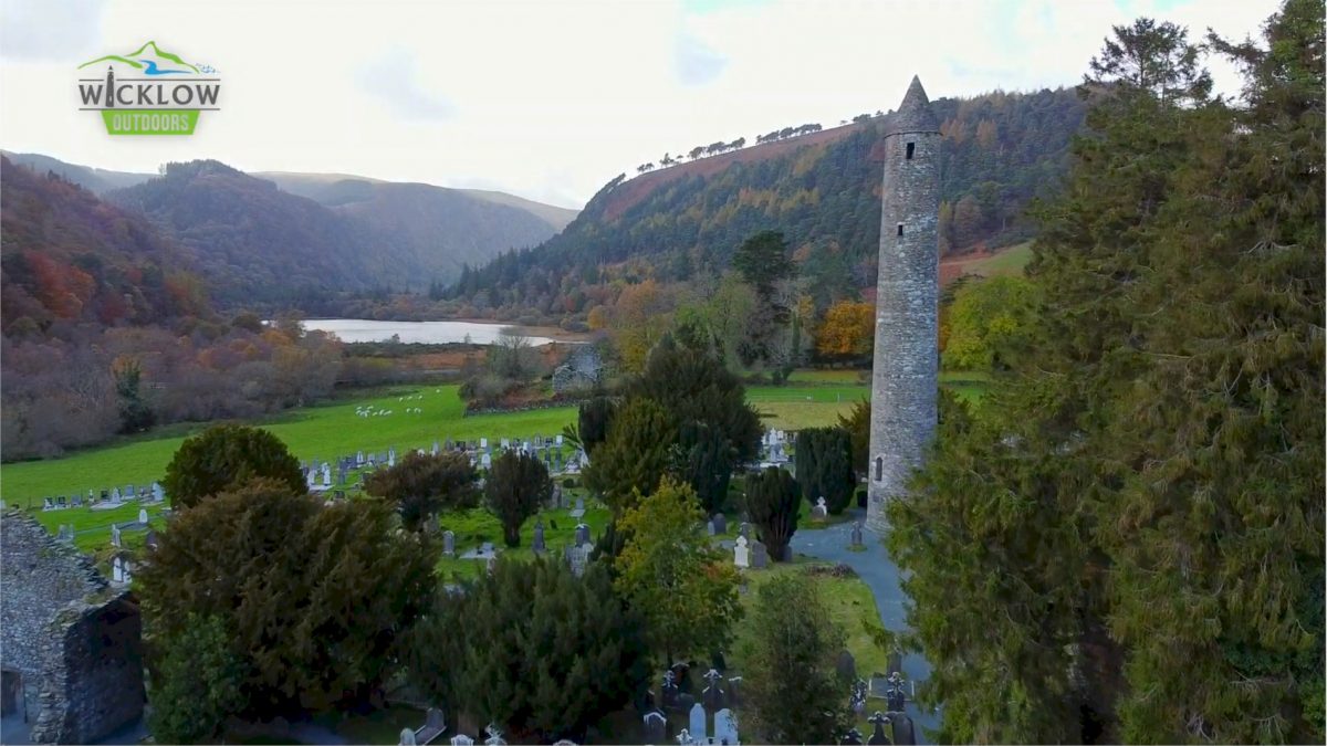
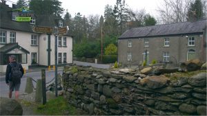
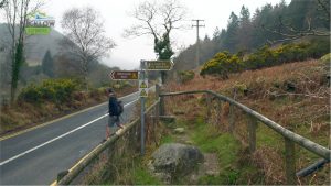
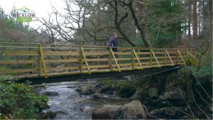
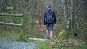
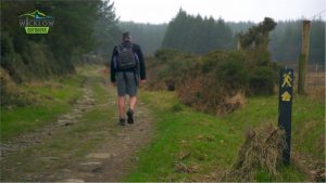
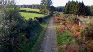
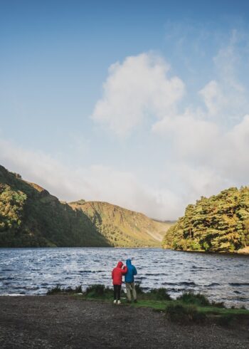
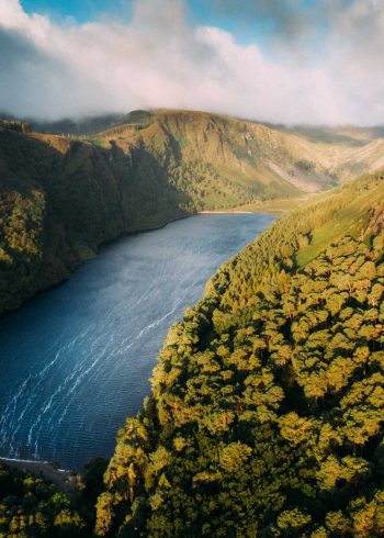
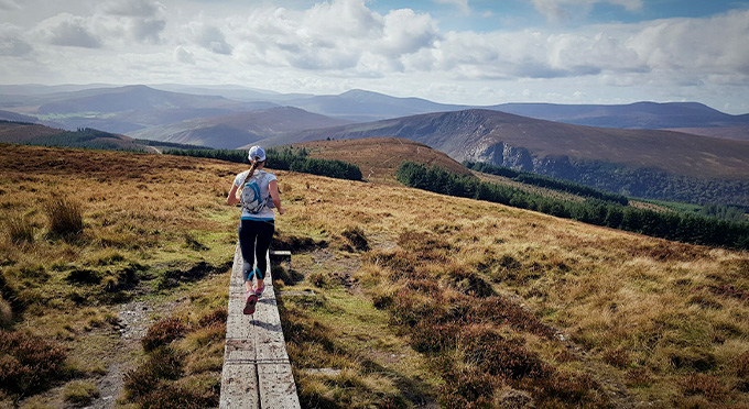
The relatively short and easy section from Oldbridge to Glendalough is a mixture of quiet country road, trails and mixed forest trails culminating with your arrival in Glendalough, one of Ireland’s most visited locations. An easier day starts with a downhill on the road to bring you to Oldbridge. Here we cross the Avonmore River. A short steep road climb and soon you’ll reach the mountain section as you take a famer’s lane to Paddock Hill. Glendalough Valley comes into view as you descend into the Glenmacnass Valley. When you reach the road you have the option of turning left here to directly reach Laragh Village. Continuing along the marked route you cross the Glenmacnass River and another easy climb brings you along Brockagh Mountain. Glendalough’s Round Tower now dominates as you make your way to the Glendalough Visitors Centre and the end of day 3.
- Grade: Strenuous
- Markings: The route is marked with yellow arrows on black marker poles – Linear Trail
- Distance: 9.6km
- Estimated walking time: 3 hours
- Total height climbed: 320m
- Highest point: 360m
- Terrain underfoot: Public road, forest track and exposed mountain trail
- Suitable for: This is one of the easier sections of the Wicklow Way but has an exposed mountain route and should only be undertaken by those who are fully equipped with rainwear, warm clothing, food and strong footwear.
- Notes: Open mountain- very exposed to weather.
- GPS START POINT: Oldbridge 53.0539, -6.2730
- GRID REF START POINT: Oldbridge O 158 017
- GPS END POINT: Laragh 53.0105, -6.3237
- GRID REF END POINT: Laragh T 125 968
- Transport:
– St Kevins Bus www.glendaloughbus.com / +353 (0)1 281 8119
– Local Link Bus 183 Glendalough/Wicklow Town (7 days)
– Irish Rail to Rathdrum
- Eat, Drink, Stay, Services: ROUNDWOOD – LARAGH/GLENDALOUGH