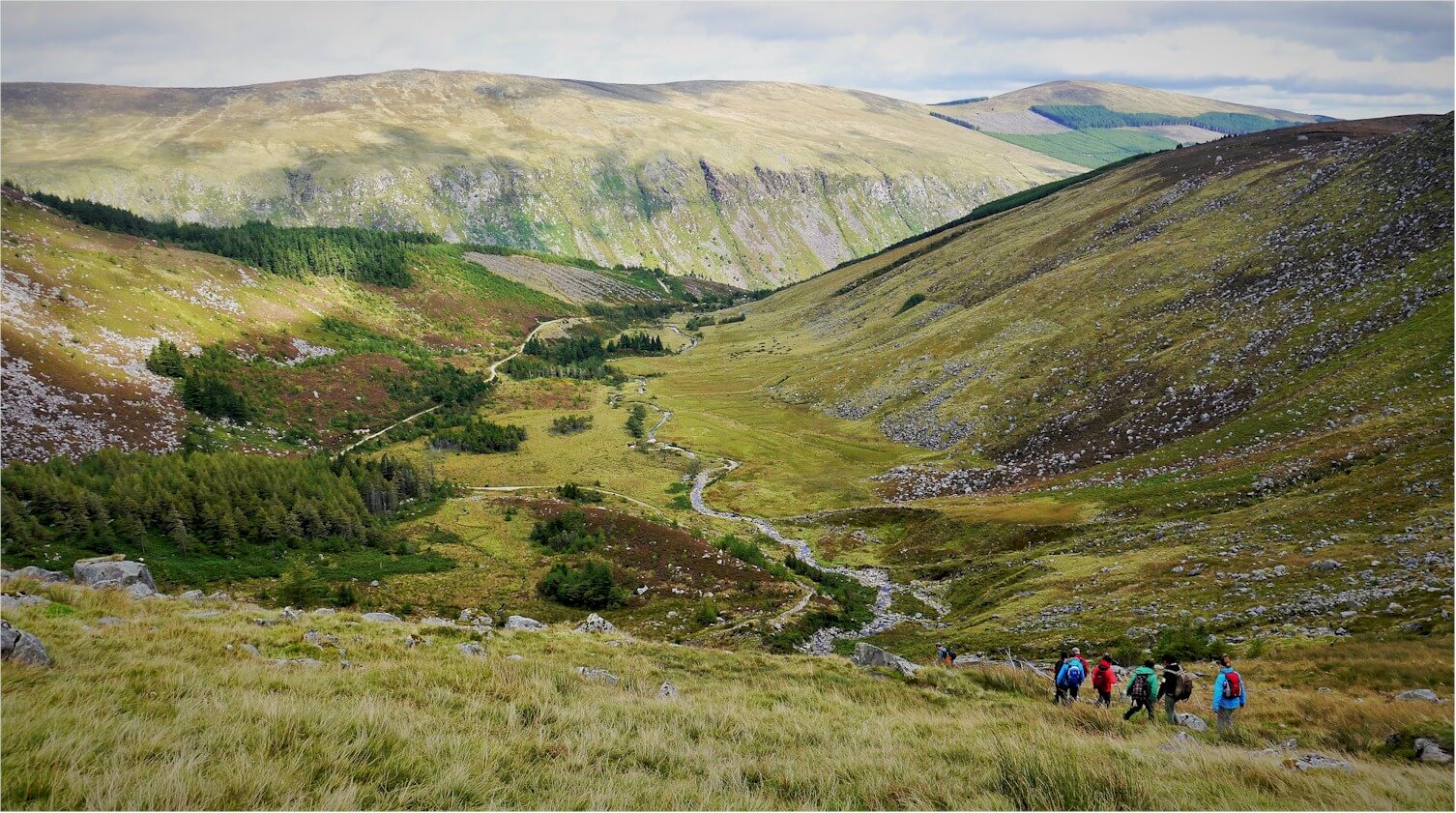
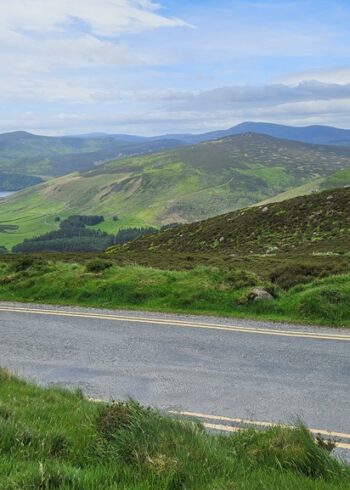
Standing at 925m Lugnaquilla or Lug as it’s better known, is the highest mountain in Ireland outside of Kerry. Listed below are the most common access points for the routes to the top.
It’s important to note that if you intend climbing ‘Lug’ you should be fully prepared: know what equipment to carry and know how to use. A major difficulty with climbing the mountain is the summit plateau, this area is very difficult to navigate in poor weather and is a regular cause of walkers getting lost on the mountain. The plateau is also guarded by two areas of cliffs to the North and South.
Grade: Difficult, no routes on the mountain are marked
Distance: 10 – 16km
Estimated time: 5 – 8 hrs
Total height climbed: 700m
Highest point: 925m
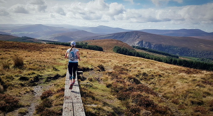
Terrain underfoot: exposed mountain trail
Suitable for: experienced fit walkers who can navigate and look after themselves in poor weather conditions.
Notes: Open mountain- very exposed to weather, can be difficult to navigate as you leave the forest if weather is poor.
Start points:
- Fentons Pub, Glen of Imaal: 52.983687,-6.553008
- Baravore car park, Glenmalure: 52.988105,-6.413061
- Aughavannagh: 52.915838,-6.431515
There is no public transport to any of the above start points.
