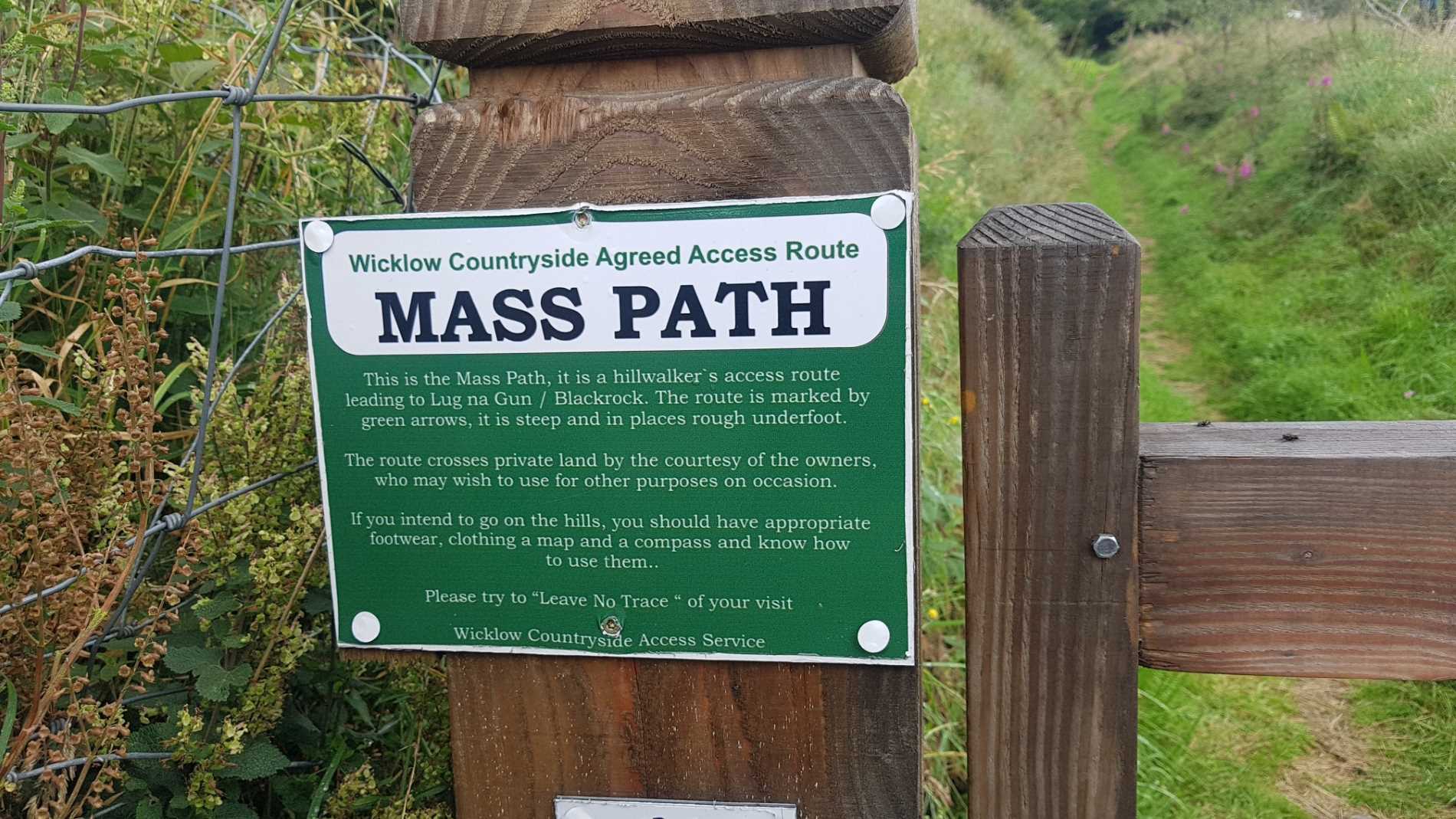
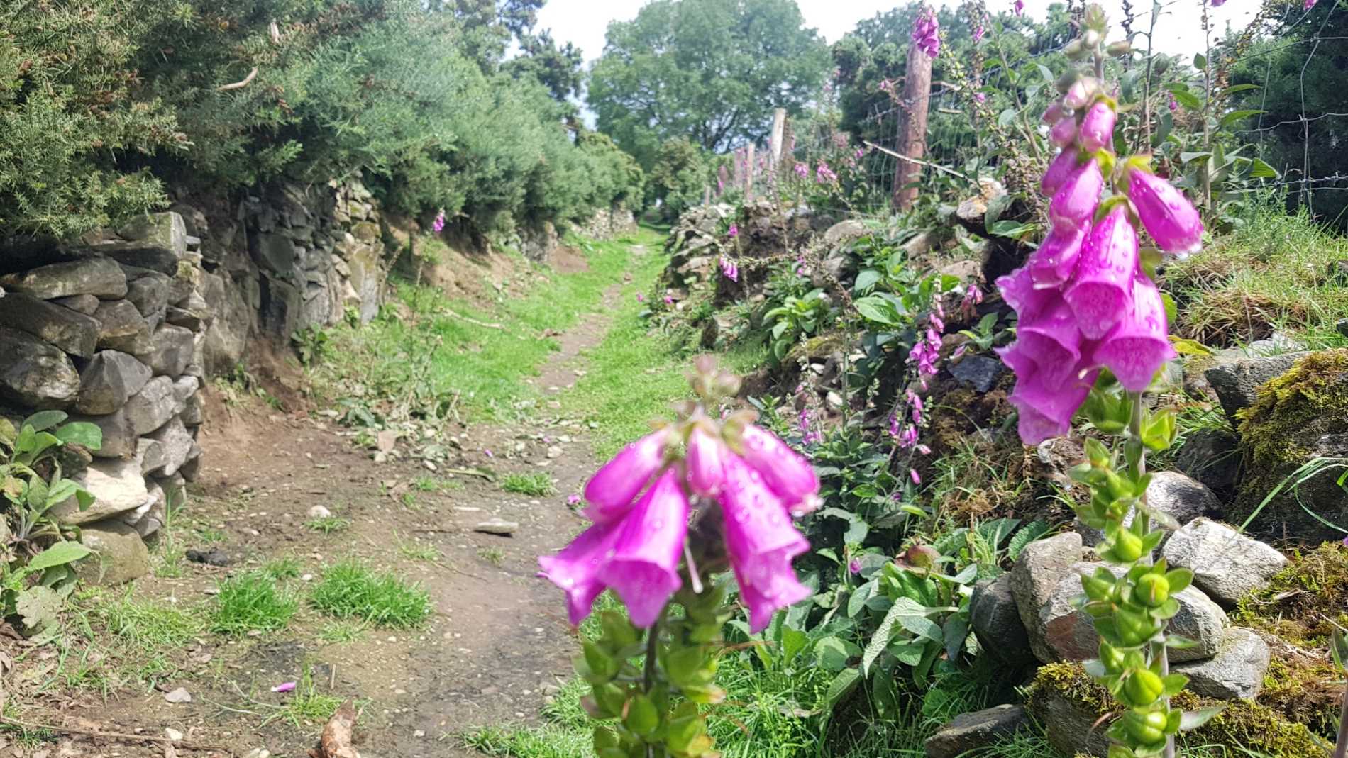
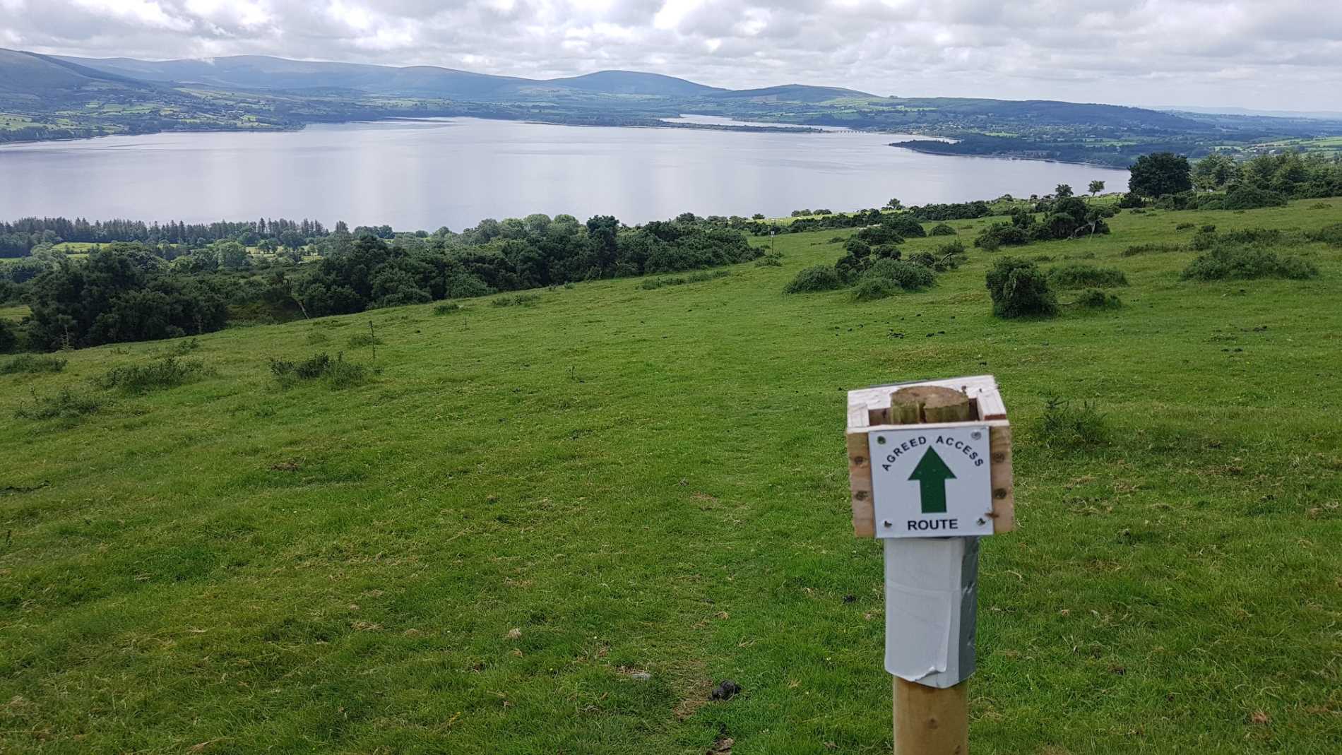
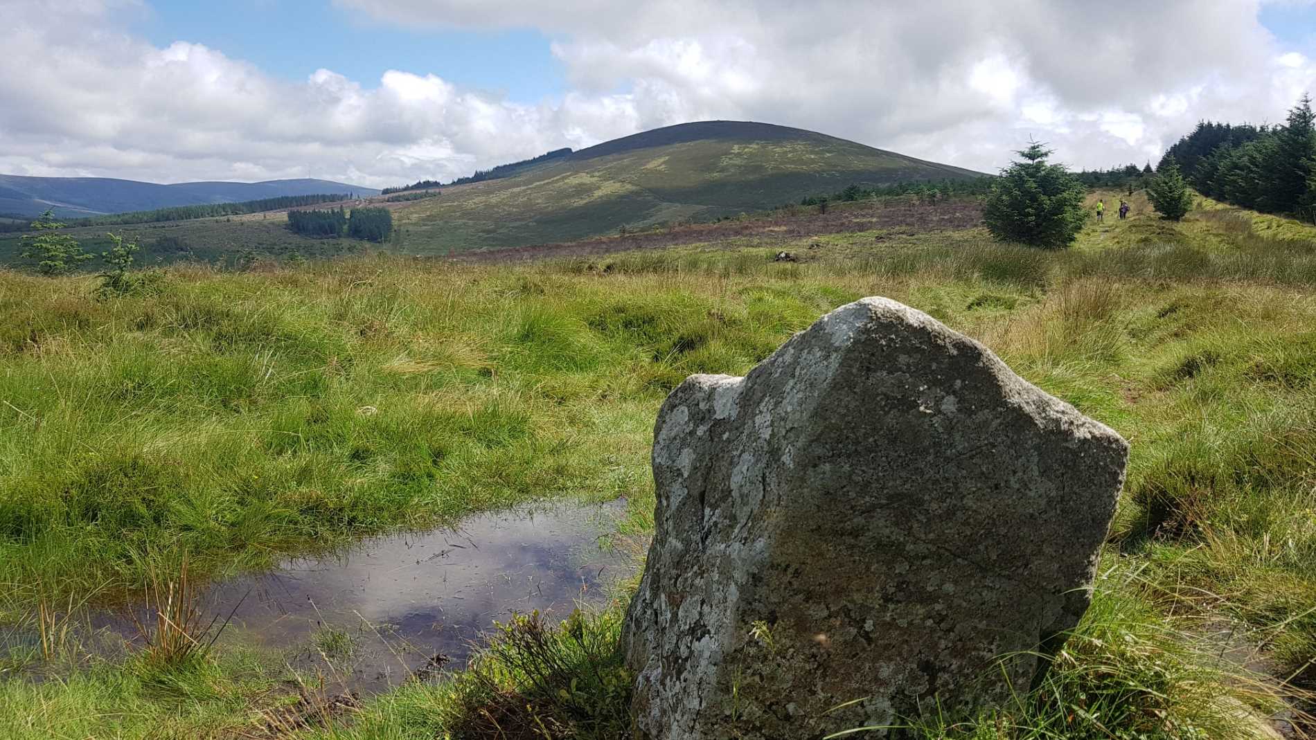
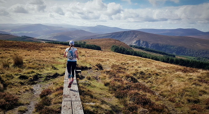
This “Mass Path” was used for over 200 years by the people of Lugnagun and Blackrock to go to church, school, shop and pub in Lacken before cars became plentiful and is marked on the Griffiths Valuation maps of 1856. It is built with stone walls 8 feet high in places and passes through a landscape still bearing the scars of the famine years, ruined houses and potato ridges, etc. Views of Poulaphuca Reservoir and Mid Leinster as far as the Slieve Bloom Mountains are magnificent.
Grade: Moderate
Distance: 3.3km
Estimated Time: 30 mins
Type: Linear
Map
GPS Co-ordinates:
Latitude: 53.14148825250746 | Longitude: -6.490718123637918
Gallery


Discover More Nearby...


Wicklow Outdoors
Wicklow Passport