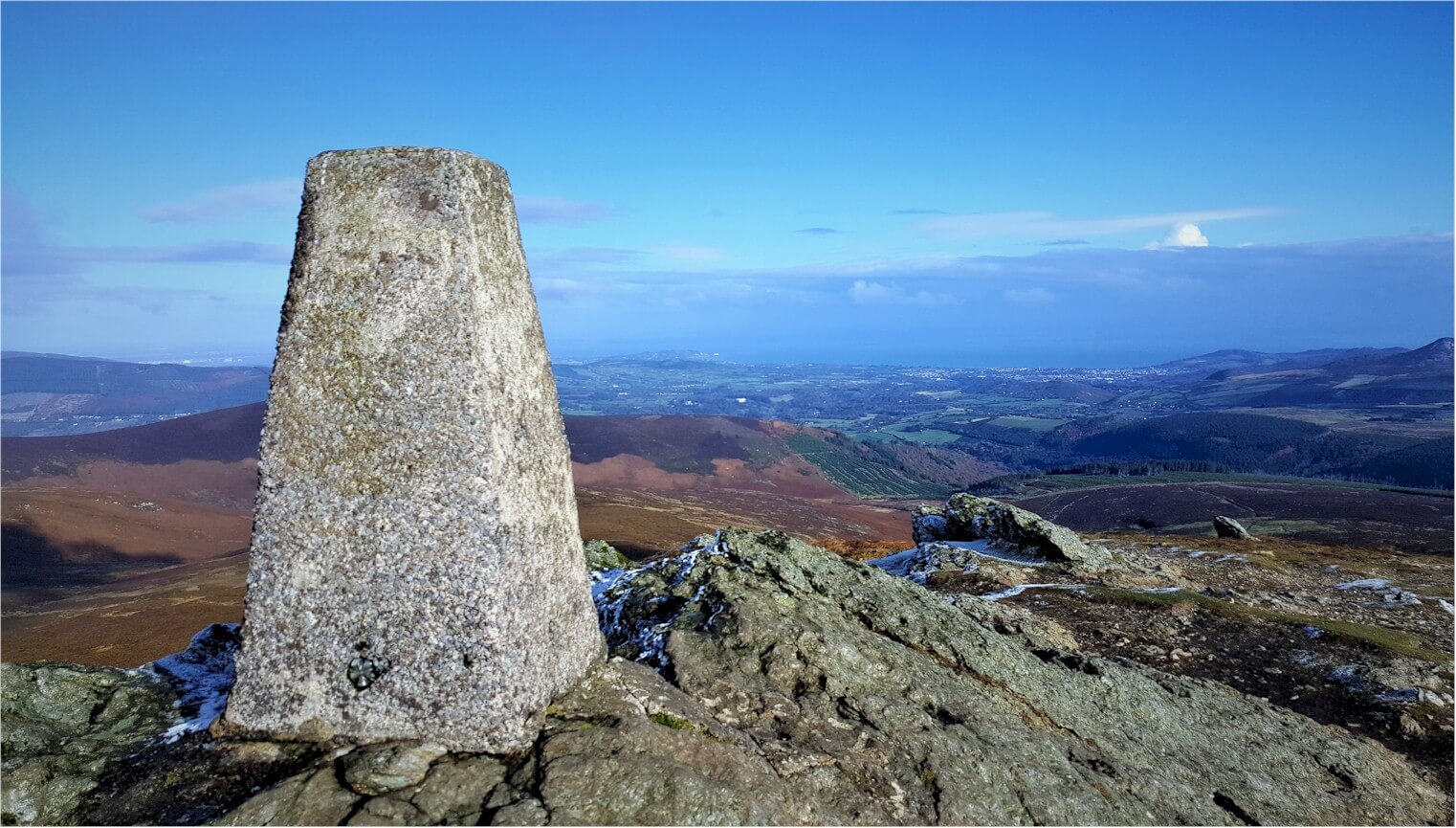
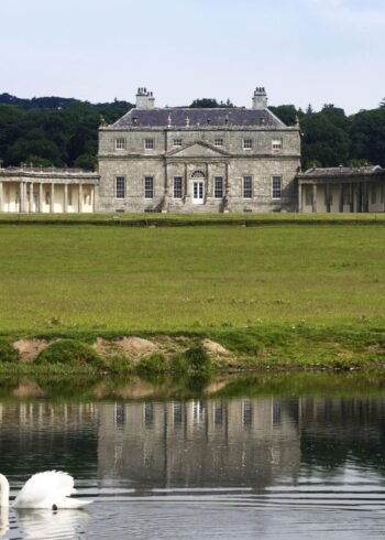
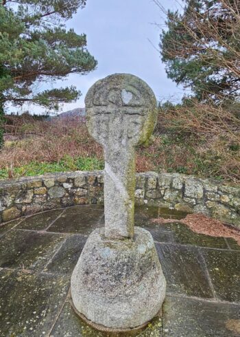
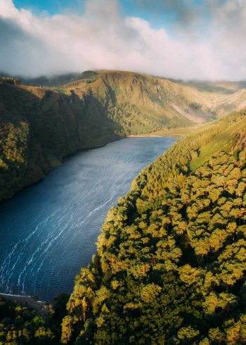
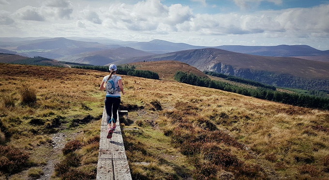
At a height of 725 metres above sea level, the summit of Djouce is one of the most accessible of the higher Wicklow Mountains.
Djouce is a short detour but steep climb off the Wicklow Way trail. There are no marked trails to the summit of Djouce but we have 3 suggested routes detailed below from 3 alternative starting points. Please follow and stay on the existing tracks to prevent erosion.
Djouce is very exposed to weather elements and proper gear is highly recommended.
Djouce is roughly 4km from the Wicklow Way junction at Pier Gates or slightly more than 6km from Crone Woods car park.
Djouce Mountain from Lough Tay Car Park – Route A
- Grade: Strenuous
- Markings: Not marked
- Distance: 7.4 km
- Estimated Time: 2.5 hours
- Total Height Climbed: 270m
- Suitable for: Fit and experienced walkers
How to get to Start Point: Lough Tay Carpark
- GPS START POINT: 53.1046,-6.2548
- GRID REF: O 169 074
Djouce Mountain from Djouce Woods – Ballinastoe Car Park – Route B
- Grade: Strenuous
- Markings: Not marked
- Distance: 12.3 km
- Estimated Time: 4 hours
- Total Height Climbed: 540m
- Suitable for: Fit and experienced walkers
How to get to Start Point: Ballinastoe Car Park
- GPS START POINT: 53.1073,-6.2171
- GRID REF: O 194 077
Djouce Mountain from Djouce Woods – Paddock Lake Car Park – Route C
- Grade: Strenuous
- Markings: Not marked
- Distance: 10.7 km
- Estimated Time: 3 hours
- Total Height Climbed: 460m
- Suitable for: Fit and experienced walkers
How to get to Start Point: Djouce Woods – Paddock Lake Car Park
- GPS START POINT: 53.1354,-6.1924
- GRID REF: O 210 109
