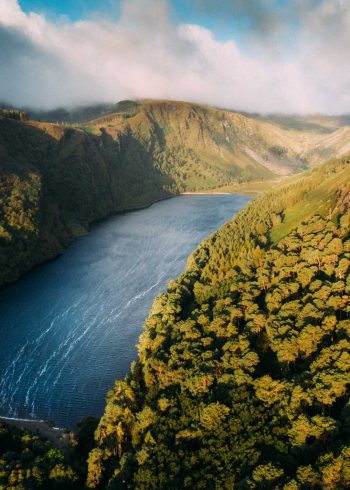
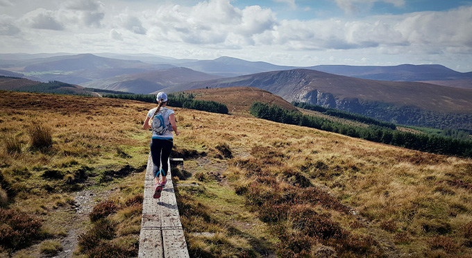
The Avonmore Way follows a mixture of minor road, forest road and track as it skirts around Trooperstown Hill and winds its way through the beautiful Claravale Nature Reserve alongside the peaceful Avonmore River with pleasant picnic spots on its banks, passing by the picturesque settlement of Clara Vale. Views of the surrounding Wicklow Mountains are magnificent and of the Vale of Clara and the mature oakwoods of the Clara Vale Nature Reserve are spectacular. The Avonmore Way offers a great connection from Rathdrum to Glendalough and the Wicklow Way.
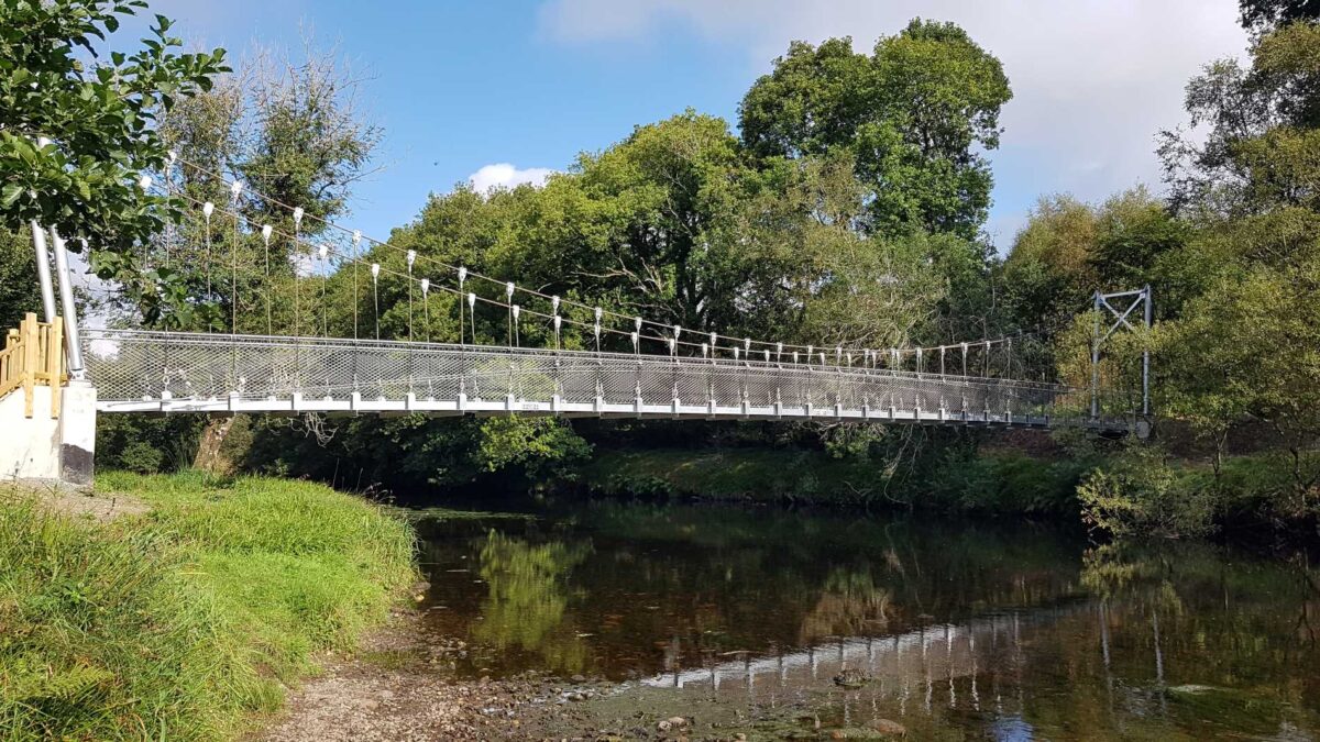
Samuel Hayes Bridge:
Opened in June 2021, the Samuel Hayes suspension bridge crosses the Avonmore River and connects with the village of Rathdrum at Hidden Valley Park.
Grade: Moderate
Markings: Route is marked with yellow walking man and arrows on black. – Linear trail
Distance:13Km
Total Height Climbed: 245m
Highest Point: 270m
Estimated time: 3.5hrs
Terrain Underfoot: Mixture of minor road, forest road and forest trail
Suitable for: Anyone with reasonable fitness
How to get to start point: You can either start from either point
Laragh:
- Start / Finish: Trooperstown Car Park near Laragh
- GRID REF: T 15864 96965
- GPS: 53.011360, -6.274341
Rathdrum:
- Start / Finish: 52.936568, -6.227714
Transport:
The Train at Rathdrum can bring walkers back north to Wicklow Town, Greystones, Bray and Dublin, or south to Wexford and to the Ferry Port at Rosslare.
Stump Forest Start:
The avonmore way can also be started from Stump Forest Carpark. See details below:
- Start / Finish: Stump Forest Entrance
- GPS: 52.945557, -6.226065
