- Please note that this route will be closed for upgrade works during September, October and November 2024. Please see Spinc and Glenealo Valley (WHITE arrows) and Spinc and Wicklow Way (RED arrows) for alternative routes.
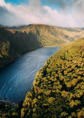
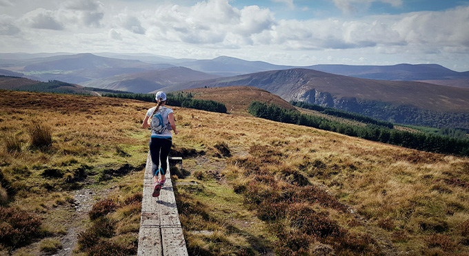
The walk follows the Poulanass Waterfall before entering the Lugduff Valley. From there, a steep climb up steps brings you onto the boardwalk which hugs the cliff of the Spinc, before cutting down through forest to lead back towards the Information Office.
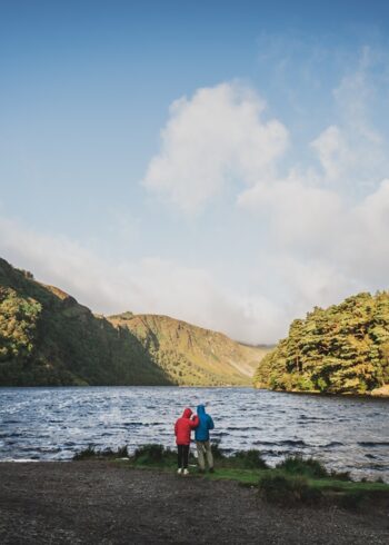
The walk ascends steeply up by Poulanass Waterfall before entering the Lugduff Valley where a steep climb up steps brings you onto the boardwalk which hugs the cliff of the Spinc before cutting down onto forest with a spectacular viewing point overlooking the Upper Lake from the Spinc.
Grade: Strenuous
Markings: The route is marked with blue arrows – Loop Trail
Distance: 6 km
Estimated time: 2hrs
Total height climbed: 300m
Highest point: 400m
Terrain underfoot: Boardwalk, rough mountain tracks and forest roads
Suitable for: Anyone with reasonable fitness level looking for a shorter version of the Spinc Walk
Notes: Dangerous cliffs- do not leave the boardwalk
How to get to start point: Upper Lake Car Park Glendalough
- GPS START POINT: 53.005,-6.3449
- GRID REF: T 111 961
- Bus: St Kevins Bus +353 (0)1 281 8119 / www.glendaloughbus.com