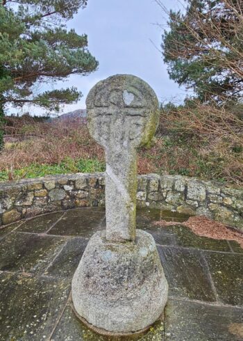
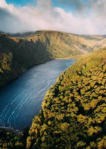
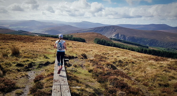
To the east of the upper lake are the remains of a stone enclosure, 20 metres in diameter. Although of unknown date, some scholars describe it as a fort and see it as evidence of an early occupation of the valley, Two such enclosures were noted in 1839 and it was suggested that they were not forts but more likely enclosures for cattle. More recently, it has been suggested that they may have served as meeting places or shelters for pilgrims. Several small crosses can be seen in the area of the ‘Caher’. These my have marked stations on the pilgrim’s route around the valley.
GPS Coordinates
Latitude: 53.005633
Longitude: -6.346064


