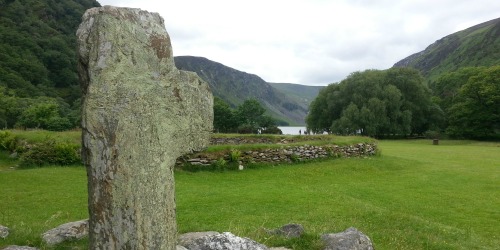
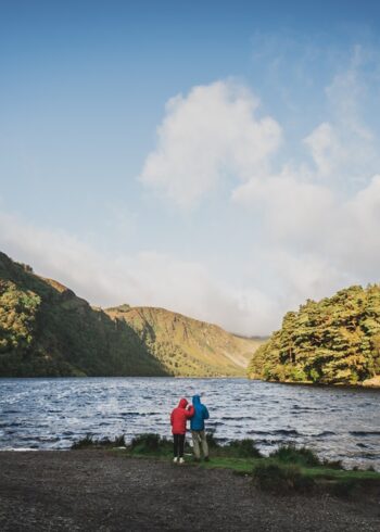
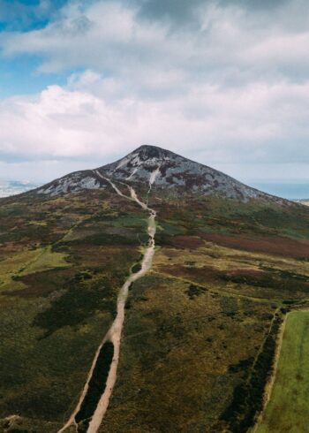
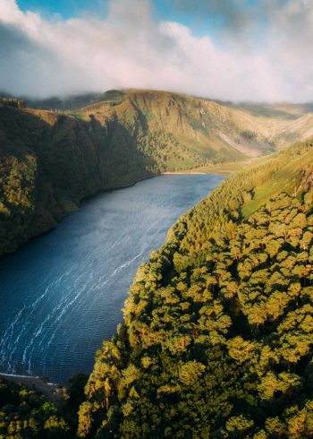
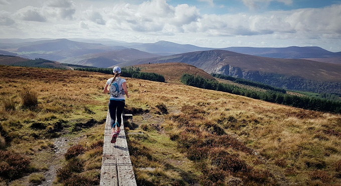
This walk starts at the National Parks information office and ascends steeply up steps on a path up by Poulanass Waterfall. The route continues up a winding trail to a spectacular viewing point overlooking the Upper Lake. It takes you in a circle initially on boardwalk and then on open mountain trails under Lugduff Mountain which is a good place to spot deer and birds such as Raven, Merlin and Kestrel. The trail then winds down through the valley on a forest road returning to Glendalough valley.
Grade: Strenuous
Markings: The route is marked with red arrows – Loop Trail
Distance: 11.8km
Estimated time: 4hrs
Total height climbed: 500m
Highest point: 600m
Terrain underfoot: Rough mountain tracks and forest roads
Suitable for: Walkers that are well equipped with high fitness levels
Notes: This is a high mountain route and should only be undertaken by those who are fully equipped with rainwear, warm clothing, food and strong footwear.
How to get to start point: Upper Lake Car Park Glendalough
- GPS FOR START POINT: 53.005192,-6.34495
- GRID REF: T 111 961
- Bus: St Kevins Bus www.glendaloughbus.com/ +353 (0)1 281 8119
- Irish Rail to Rathdrum
More info on Glendalough Walks