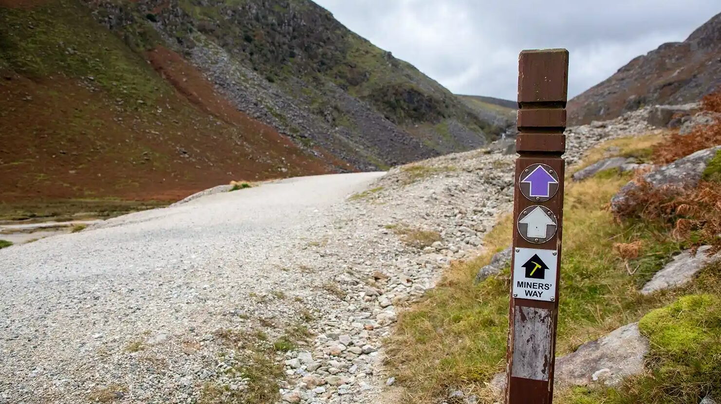
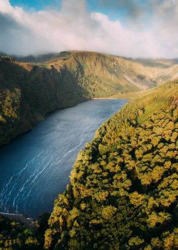
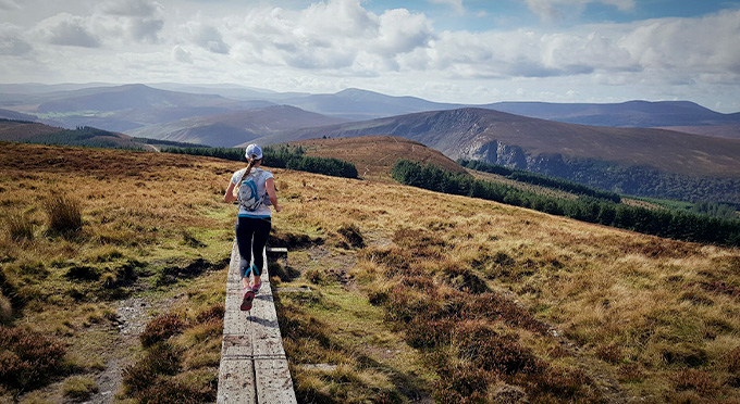
The Miners’ Way trail encompasses three valleys in the Wicklow Uplands; starting at Glendasan, continuing to the Glendalough and finishing at Glenmalure. The trail touches upon the rich mining heritage of the Wicklow Uplands, taking in the remains of old mine workings and processing plants along the route.
This is a 19km linear upland trail that crosses beautiful valleys and upland areas of the Wicklow Mountains, and it is therefore classed as a strenuous route. Some sections have steep climbs over rough ground requiring walkers to be accustomed to walking and high levels of fitness. Specific outdoor walking footwear and clothing is required.
There are no places on the route where food and refreshments can be purchased. Take enough water and food to meet your needs. The walk should be completed in day light hours.
Grade: Strenuous
Distance: 16.9km
Estimated time: 6hrs
Type: Linear
