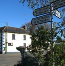
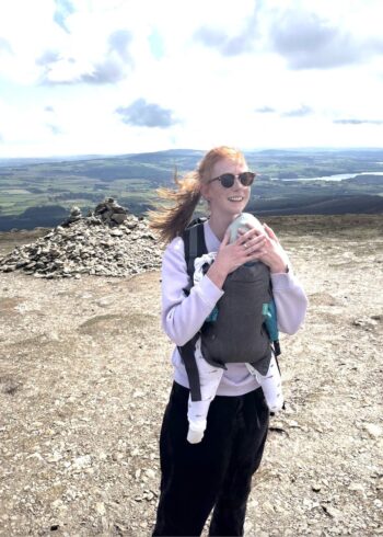
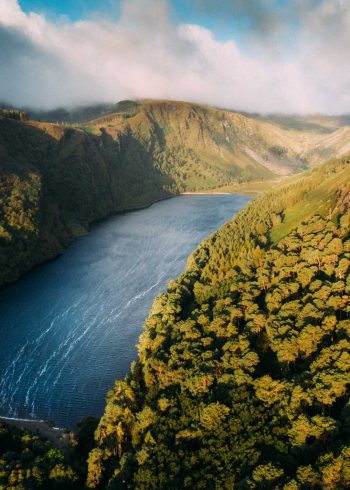
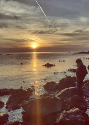
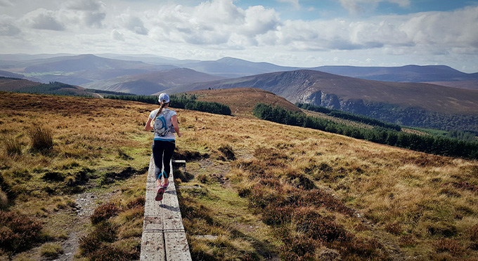
Grangecon (Irish: Gráinseach Choinn, meaning “Granary of the Hound”) is a picturesque village in West Wicklow. The village, still known by many as “The Hall” is set in a valley, halfway between Baltinglass and Dunlavin, in between the N9 Dublin- Waterford Road and the N81 (Dublin Baltinglass) roads. The Wicklow Mountains are to the east, while to the west lie the lowlands of Kildare and the midlands. It is an area of mixed agriculture, and has a lot of bloodstock activity including the breeding and training of racehorses. There are also several stud farms in the locality.
Grangecon started out as an out-farm for the Cistercian monks of Baltinglass Abbey. The monks operated a corn-mill on a tiny slip of a river that runs throught the village to the River Griese. Present day Grangecon is well serviced for its size and boasts a small national school, a village hall and two local pubs, one of which also serves as a restaurant, guesthouse and local grocery store. A recently constructed Catholic church stands in the centre of the village, while there is a Church of Ireland church at Ballynure, a short distance away. A wire sculpture of a hound (or chonn) is located in the centre of the village next to the river and a memorial is located at the church to local man Cpl. Michael Nolan who lost his life while serving with the U.N Forces in the Congo in 1962.
There is a local community owned park in the village where the local soccer club play their home fixtures and the school Children play football and hurling while football and hurling at juvenile levels and football up to senior level are played at the Stratford / Grangecon GAA club. The village also boasts a very successful boxing club. A beautiful children’s playground has been recently added to the Community Field which was part funded by Leader and the remainder raised locally through fundraising. The Field Committee in the village are very active and there’s
a strong sense of community spirit present. Regular social events are organised such as the Annual Soapbox Derby Race through the main street in May of each year which attracts many competitors and spectators as well as Family Campathons and Field Days in the summer time. There is also an active Tidy Towns Committee who take responsibility for keeping Grangecon tidy and conserving the surrounding countryside.
The area is rich in history and has been populated for many thousands of years with many iron age sites in evidence throughout the surrounding countryside as well as early Christian and pre Christian sites. There was local involvement in the rebellion of 1798 and other events of historical significance. There is plenty of sporting activity in the hinterland with many fine golf courses within easy reach and fishing, outdoor and adventure activities at nearby Rathcon Farm, you will have no trouble finding somewhere to stay with many excellent hotels and guesthouses about.
GPS Coordinates
Latitude: 52.997873
Longitude: -6.74315

