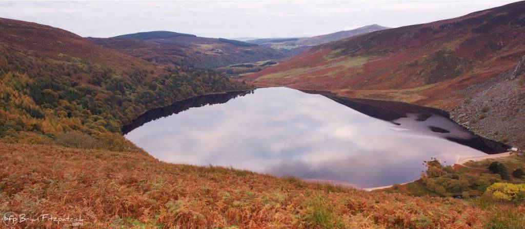
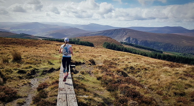
The Military Road runs north-south across the spine of the Wicklow Mountains. It was constructed between 12 August 1800 and October 1809, in the wake of the 1798 rebellion, to open up the mountains to the British Army to assist them in putting down insurgents who were hiding there. Rathfarnham itself was the scene of some skirmishes in the early days of the rising.
It was one of the first purpose-built roads in Ireland. Four barracks were built along the way at Glencree, Laragh,Glenmalure, and Aghavannagh. The engineer in charge was Alexander Taylor (b. 1746), who was responsible for many other roads in the country, including some turnpike roads (toll roads).
GPS Coordinates
Latitude: 53.114088
Longitude: -6.322971
