Along the way are the many towns, villages, harbours, monuments and other structures showing the interaction of people with the coast from earliest times to the present day.
The coastline of Wicklow varies greatly in appearance and in physical composition as one travels from north to south. The northern end of the coast is dominated by the rocky outcrop of Bray Head and the sea cliffs that form the basis of the cliff walk to Greystones.
South of here the coast is characterised by a long straight shingle beach, stretching as far as Wicklow Town, inland of which occurs the largest Wetland complex on the East coast of Ireland.
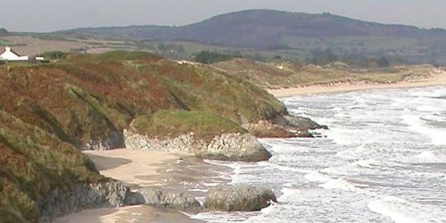
Wicklow Head and sea cliffs form the easternmost point of Ireland, which moving south, gives way to low boulder clay promontories (headlands) interspersed with small shingly coves and the extensive sandy beaches and dunes for which the Brittas Bay area is best known.
The Wicklow stretch of coastline ends just south of Arklow, a town with a strong maritime history of shipbuilding and fishing dating back to Viking times.
More info: www.wicklowcoast.com[
