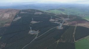
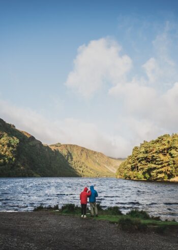
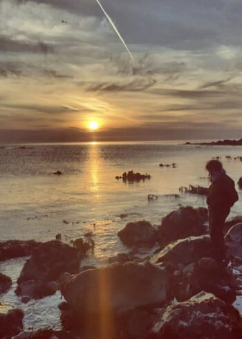
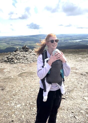
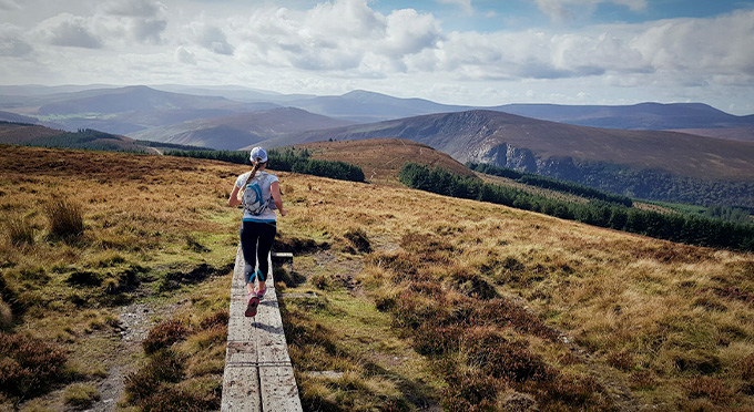
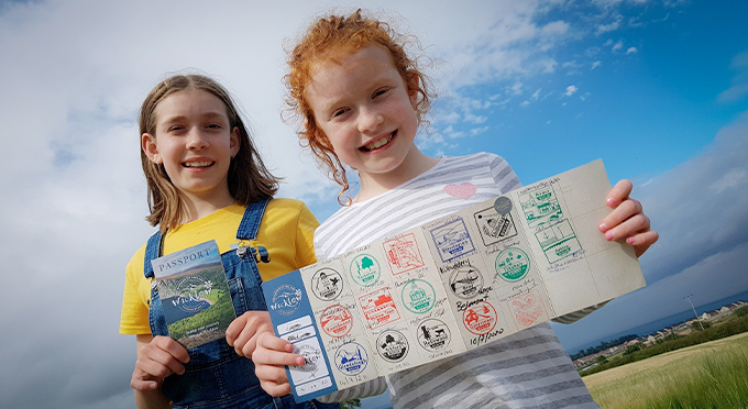
The present windfarm and walking trails at Raheenleagh welcome visitors and there are 3 different marked trails available
Raheenleagh, formerly known as Forde’s Hill, was farmed by the Forde family from the 1700’s until the 1940’s. Since then Coillte have planted and harvested trees in the Raheenleagh forest while the current crop of eleven turbines was realised in partnership with the ESB.
The windfarm is located in South Wicklow, west of Arklow, between Woodenbridge & Tinahely
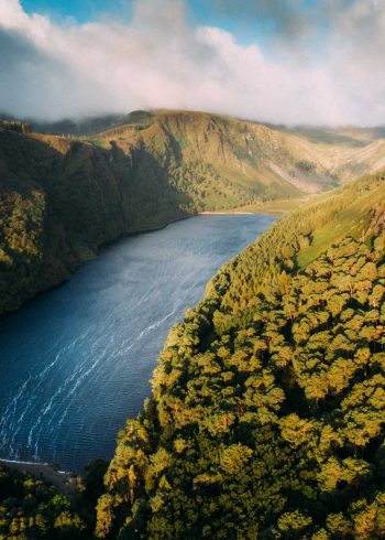
This is an ideal family destination where the trails lead up to the wind turbines and offer stunning views over the Wicklow Mountains and the Irish Sea.
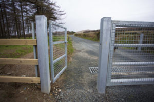
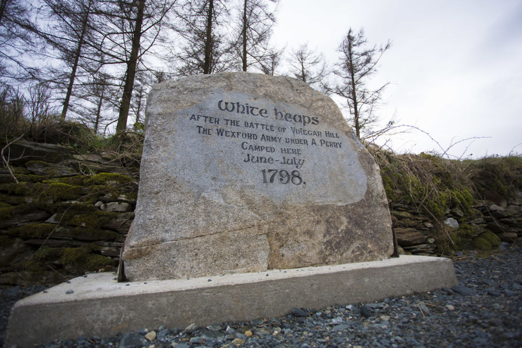
Raheenleagh (the small grey rath or fort) windfarm has hosted a range of visitors over the years. The main entrance is known locally as the ‘White Heaps’ due to the cairns of quartz which may have marked prehistoric burial mounds.
Bronze Age graves or cists were also found at Ballinagore Bridge and a decorated burial urn from that period is in the National Museum. More recently (1795), gold nuggets were found in a stream on the northern side of Croghan mountain (Cruachán Chinnsealaigh) and prospectors retrieved over 3,000 ounces of gold. Also in 1798 United Irishmen camped at this entrance on returning from the battle of Vinegar Hill.
Visitors can walk up to the turbines via any of the listed trails
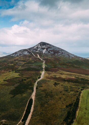
Croghan Trail:- This trail passes close to three wind turbines as it makes its way up to a spectacular viewing point which includes a view of the old goldmining area in Ballinagore bridge. The trail is also the traditional walking route to the summit of Croghan mountain.
Grade: Moderate
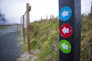
Marking: The route is marked with blue marker arrows – Loop Trail
Distance: 7.1km
Estimated time: 2.5 mins
Total height climbed: 240m
Highest point: 540m
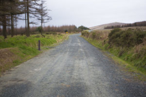
Terrain underfoot: Forest trail
Suitable for: Families etc
- Start GPS Coordinates: Lat 52.781864 Long -6.291916
- Start Grid Reference: T 15266 71426
Forde’s Farmhouse Trail:- This trail is named after the Forde family, the owners of most of the land on Raheenleagh up until the early 1940s. The large copse of red fuschia, nestled on a lower bend of the trial, marks the site of their farmhouse. This trail was sometimes used to get to the dances in Ballycoog via the viewing point on Croghan hill, a walk of about eight miles, each way.
Grade: Moderate
Marking: The route is marked with Green markers arrows – Loop Trail
Distance: 5.5km
Estimated time: 2.5 mins
Total height climbed: 110m
Highest point: 420m
Terrain underfoot: Forest trail
Suitable for: Families etc
- Start GPS Coordinates: Lat 52.781864 Long -6.291916
- Start Grid Reference: T 15266 71426
Bann River Trail:- This trail separates from the Forde Farmhouse trail just after it passes over the source of the Bann river which is a key tributary of the Slaney and provides a lot of the drinking water for North Wexford.
Grade: Easy
Marking: The route is marked with Red marker arrows – Loop Trail
Distance: 4.1km
Estimated time: 1 hour
Total height climbed: 90m
Highest point: 360m
Terrain underfoot: Forest trail
Suitable for: Families etc
- Start GPS Coordinates: Lat 52.781864 Long -6.291916
- Start Grid Reference: T 15266 71426

